
Butte de l'Aigle

ajd26
User

Length
13.5 km

Max alt
1074 m

Uphill gradient
773 m

Km-Effort
24 km

Min alt
443 m

Downhill gradient
772 m
Boucle
Yes
Creation date :
2022-11-02 08:06:18.0
Updated on :
2022-11-03 08:52:15.788
4h37
Difficulty : Medium

FREE GPS app for hiking
About
Trail Walking of 13.5 km to be discovered at Auvergne-Rhône-Alpes, Drôme, Aurel. This trail is proposed by ajd26.
Description
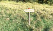
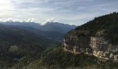
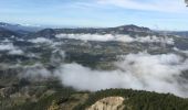
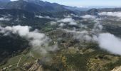
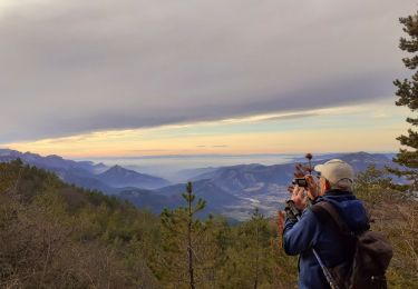
départ d'Aurel, le Chambon, butte de l'Aigle très beau panorama (à faire), déambulation en balcon (les Rossilenches) jusqu'à St Martin jolis panoramas tout le long qui domine le ruisseau de la Colombe
il y a de nombreux Vautours qui se posent dans la falaise
retour par le Chambon
Positioning
Country:
France
Region :
Auvergne-Rhône-Alpes
Department/Province :
Drôme
Municipality :
Aurel
Location:
Unknown
Start:(Dec)
Start:(UTM)
682637 ; 4951773 (31T) N.
Comments
Trails nearby
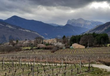
Vercheny Chateau du Barry 14 km


Walking
Medium
(1)
Vercheny,
Auvergne-Rhône-Alpes,
Drôme,
France

14.2 km | 23 km-effort
5h 11min
Yes

Vercors - Vercheny Combe Noire


Walking
Very easy
(1)
Aurel,
Auvergne-Rhône-Alpes,
Drôme,
France

8.7 km | 12.7 km-effort
2h 55min
Yes
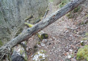
26 aurel col de la grave rimon


Walking
Easy
Aurel,
Auvergne-Rhône-Alpes,
Drôme,
France

14.6 km | 25 km-effort
6h 4min
No
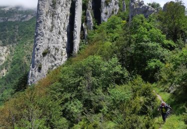
26 lames de pennes savel jp


Walking
Medium
Rimon-et-Savel,
Auvergne-Rhône-Alpes,
Drôme,
France

10.8 km | 0 m-effort
7h 56min
Yes
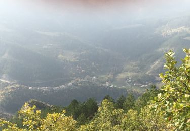
balcons de la Roanne


Walking
Medium
Rimon-et-Savel,
Auvergne-Rhône-Alpes,
Drôme,
France

18.8 km | 29 km-effort
5h 17min
Yes
rimon 2/1/2022


Walking
Medium
Rimon-et-Savel,
Auvergne-Rhône-Alpes,
Drôme,
France

5.4 km | 6.9 km-effort
1h 48min
No
montagne de Faraud


Walking
Difficult
Saint-Benoit-en-Diois,
Auvergne-Rhône-Alpes,
Drôme,
France

16.4 km | 31 km-effort
5h 15min
Yes
Vercheny boucle du Barry


Walking
Medium
Vercheny,
Auvergne-Rhône-Alpes,
Drôme,
France

12.8 km | 21 km-effort
3h 41min
Yes
Aurel 15/10/2020


Walking
Medium
Aurel,
Auvergne-Rhône-Alpes,
Drôme,
France

18.5 km | 31 km-effort
5h 21min
Yes


 SityTrail


