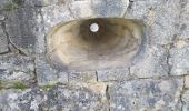
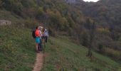
Trail Walking Chassagne-Saint-Denis - Chassagne st denis - Photo
© OpenStreetMap contributors
Length
Length
13.2 km
Max alt
Max alt
562 m
Uphill gradient
Uphill gradient
290 m
Km-Effort
Km-Effort  
17 km
Min alt
Min alt
401 m
Downhill gradient
Downhill gradient
292 m
Boucle
Boucle
Yes
Creation date :
2022-10-31 09:20:19.56
Updated on :
2024-10-31 20:32:48.005

(1 Reviews)

Walking
Walking
3h45
Difficulty : Easy

Scan this QR Code to open this trail in the SityTrail application

FREE GPS app for hiking

Logo SityTrail SityTrail
IGN / Geographical institutes

Download SityTrail from the App Store Download SityTrail from Google Play

Logo SityTrail SityTrail World
The world is yours!

Download SityTrail from the App Store Download SityTrail from Google Play Download SityTrail on Huawei AppGallery

About

Trail Walking of 13.2 km to be discovered at Bourgogne-Franche-Comté, Doubs, Chassagne-Saint-Denis. This trail is proposed by eltonnermou.

Description

parking près de l'église
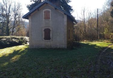
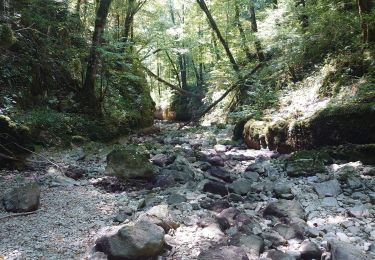
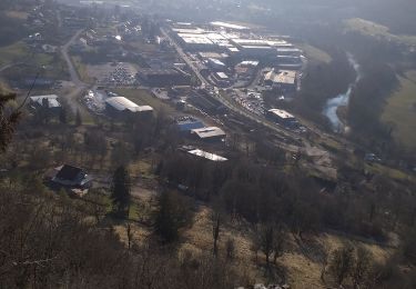
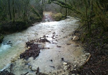
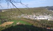
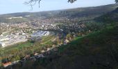
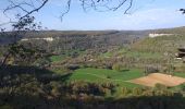
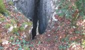
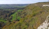
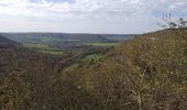
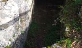
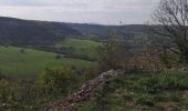
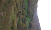
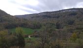
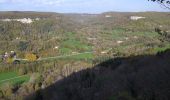
Belle randonnée qui vous fait découvrir un très bon aperçu de la géographie de la région des rives de la Loue : les ravins, les facles, les lapiaz, les collines, les sous-bois, les points de vue, ... et au fur à mesure du cheminement une faune et flore propice à vous émouvoir et à être observée. Vous allez emprunter un sentier qui parcours le ravin de Valbois qui est une réserve naturelle nationale dont le cheminement est réglementé : pas de groupe de plus de 9 personnes, bien rester sur le chemin, ne rien cueillir ....
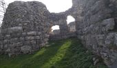
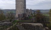
Et vous allez traverser les ruines (en cours de restauration) du castel st Denis.

Elevation profile

Photos

22 photos in total. Please click on a photo to see them all in the gallery.

Positioning

Country:
France
Region :
Bourgogne-Franche-Comté
Department/Province :
Doubs
Municipality :
Chassagne-Saint-Denis
Location:
Unknown
Start:(UTM)
280921 ; 5218512 (32T) N.

Comments

Please log in to post a review or rate the element


Trails nearby

Trail Walking Ornans - Votre-dame du chêne  - Photo
Walking
eltonnermou

Walking

Medium
(1)
Ornans, Bourgogne-Franche-Comté, Doubs, France
14.3 km | 19.7 km-effort
2h 57min
Yes
Trail Walking Cléron - Cléron et 2 de ses ravins - Photo
Walking
eltonnermou

Walking

Medium
(1)
Cléron, Bourgogne-Franche-Comté, Doubs, France
16.8 km | 23 km-effort
6h 36min
Yes
Trail Walking Ornans - ornans belvédère château - Photo
Walking
eltonnermou

Walking

Easy
(1)
Ornans, Bourgogne-Franche-Comté, Doubs, France
14.5 km | 19.3 km-effort
2h 33min
No
Trail Mountain bike Ornans - xtrem'loue 2017 - 15kms - Photo
Mountain bike
norbertmarteau

Mountain bike

Medium
(1)
Ornans, Bourgogne-Franche-Comté, Doubs, France
16 km | 21 km-effort
1h 23min
Yes
Trail Walking Ornans - ravin du puits noir - Photo
Walking
mormal

Walking

Easy
(1)
Ornans, Bourgogne-Franche-Comté, Doubs, France
4.9 km | 6.3 km-effort
1h 32min
Yes
Trail Walking Ornans - bonnevaux le bas  - Photo
Walking
mig26

Walking

Easy
Ornans, Bourgogne-Franche-Comté, Doubs, France
11.3 km | 15.3 km-effort
2h 40min
Yes
Trail Walking Ornans - la brème-ornans - Photo
Walking
eltonnermou

Walking

Medium
(1)
Ornans, Bourgogne-Franche-Comté, Doubs, France
10 km | 14.7 km-effort
2h 12min
Yes
Trail Walking Ornans - Ornans cascade Boneille - Photo
Walking
eltonnermou

Walking

Very easy
Ornans, Bourgogne-Franche-Comté, Doubs, France
13.4 km | 17.3 km-effort
5h 16min
Yes
Trail Walking Ornans - Ornans - Cascades  Baume Bourla de la tuffière- Source Bleue 29 déc 2020 CAF - Photo
Walking
TRIMAILLE

Walking

Difficult
Ornans, Bourgogne-Franche-Comté, Doubs, France
22 km | 29 km-effort
5h 0min
Yes


Close
My subscriptions