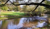
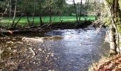
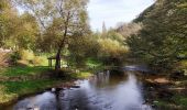
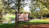
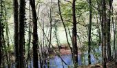
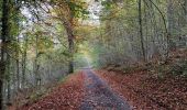
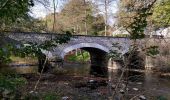
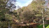
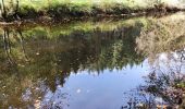
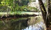
Trail Walking Tellin - Promenade des bords de Lesse  - Photo

Promenade des bords de Lesse

« L’heure de la fin des découvertes ne sonne jamais. » Colette GUIDE+

© OpenStreetMap contributors
Length
Length
5.8 km
Max alt
Max alt
240 m
Uphill gradient
Uphill gradient
129 m
Km-Effort
Km-Effort  
7.5 km
Min alt
Min alt
170 m
Downhill gradient
Downhill gradient
129 m
Boucle
Boucle
Yes
Creation date :
2022-10-30 17:30:41.636
Updated on :
2022-10-30 19:25:22.152

(0 Reviews)

Walking
Walking
1h42
Difficulty : Medium

Scan this QR Code to open this trail in the SityTrail application

FREE GPS app for hiking

Logo SityTrail SityTrail
IGN / Geographical institutes

Download SityTrail from the App Store Download SityTrail from Google Play

Logo SityTrail SityTrail World
The world is yours!

Download SityTrail from the App Store Download SityTrail from Google Play Download SityTrail on Huawei AppGallery

About

Trail Walking of 5.8 km to be discovered at Wallonia, Luxembourg, Tellin. This trail is proposed by Au fil de nos découvertes.

Description

🌳💦
🅿️ Départ et Parking:
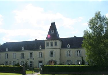
@Château de Resteigne
146, rue de la Carrière
6927 Tellin
🥾 Prévoir de bonnes chaussures de marche.
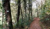
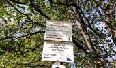
▶️ Suivre la balise "croix verte"
🌲🌳
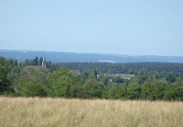
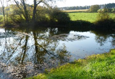
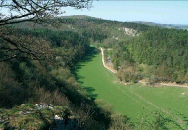
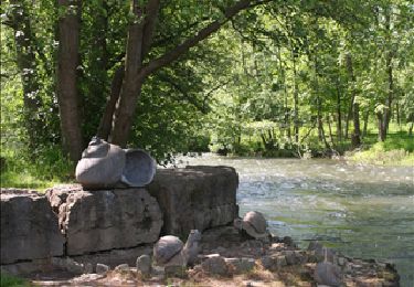
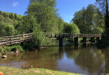
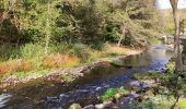
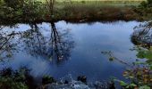
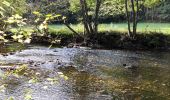
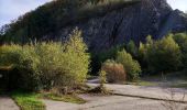
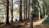
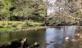
Au départ du château de Resteigne, cette promenade vous emmène vers une réserve qui longe les rives de la Lesse. 😍
À Belvaux, se trouve un ancien moulin, construit en moellons calcaires, caractéristiques de la région.
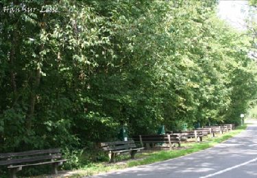
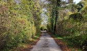
Petite grimpette et vous longerez la route pour revenir à Resteigne, mais les paysages sont très agréables et il n'y a pas beaucoup de circulation. ↗️

⚠️ Vérifiez les horaires de chasses avant de commencer la promenade.

Possibilités de pique-niquer. 🥪🍴
Chiens autorisés en laisse. 🐩🐶🐕
Convient pour les enfants . 👱👱‍♂️  
Ne convient pas pour les poussettes ni pour les personnes à mobilité réduite. 👨‍🦽👩‍🦽👶

N'hésitez pas à aller faire un tour sur notre site internet : www.aufildenosdecouvertes.com

Instagram :
https://instagram.com/au_fil_de_nos_decouvertes?igshid=3v7ume5rkt12

Elevation profile

Photos

32 photos in total. Please click on a photo to see them all in the gallery.

Positioning

Country:
Belgium
Region :
Wallonia
Department/Province :
Luxembourg
Municipality :
Tellin
Location:
Unknown
Start:(UTM)
655663 ; 5550953 (31U) N.

Trails nearby

Trail Walking Wellin - RB-Lu-25_Wellin - Photo
Walking
PRO

Walking

Very easy
(6)
Wellin, Wallonia, Luxembourg, Belgium
26 km | 33 km-effort
6h 46min
Yes
Trail Walking Rochefort - Nature - The view from the Belvédère in Han-sur-Lesse - Photo
Walking
PRO

Walking

Difficult
(16)
Rochefort, Wallonia, Namur, Belgium
4.8 km | 6.3 km-effort
1h 20min
Yes
Trail Walking Tellin - Tellin. Natura 2000, des sites qui valent le détour ! Lx 7 - Photo
Walking
GUIDE+

Walking

Medium
(7)
Tellin, Wallonia, Luxembourg, Belgium
9.6 km | 11.9 km-effort
1h 30min
Yes
Trail Walking Wellin - Wellin - Wéry_Variante (WE 06) - Photo
Walking
GUIDE+

Walking

Difficult
(5)
Wellin, Wallonia, Luxembourg, Belgium
11.4 km | 15.5 km-effort
3h 30min
Yes
Trail Walking Rochefort - RB-Na-07 Raccourci - Ronde au pays des grottes - Photo
Walking
PRO

Walking

Easy
(9)
Rochefort, Wallonia, Namur, Belgium
18.4 km | 24 km-effort
4h 59min
Yes
Trail Walking Rochefort - Nature : Belvaux -Les Rouges-Gorges (the robins) - Photo
Walking
PRO

Walking

Easy
(8)
Rochefort, Wallonia, Namur, Belgium
6.5 km | 8.4 km-effort
1h 20min
Yes
Trail Walking Rochefort - Nature : Belvaux -Les Rouges-Gorges (the robins) - Photo
Walking
PRO

Walking

Easy
(13)
Rochefort, Wallonia, Namur, Belgium
5.8 km | 7.6 km-effort
1h 20min
Yes
Trail Walking Rochefort - Nature - A discovery trail through Han-sur-Lesse - Photo
Walking
PRO

Walking

Very easy
(15)
Rochefort, Wallonia, Namur, Belgium
4.8 km | 5.8 km-effort
1h 15min
Yes
Trail Walking Tellin - Balade à Resteigne - Photo
Walking
GUIDE
Desrumaux

Walking

Easy
(1)
Tellin, Wallonia, Luxembourg, Belgium
12.6 km | 16.2 km-effort
3h 32min
Yes


Close
My subscriptions