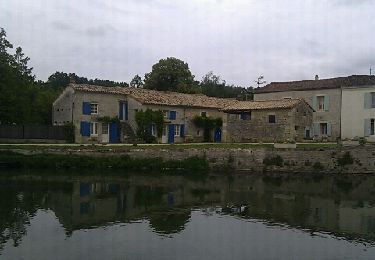
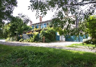
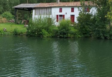
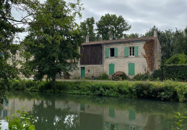
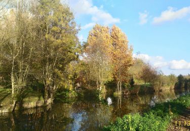
Trail Walking Sansais - La Garette (par la Sotterie - Photo

La Garette (par la Sotterie

 olaze
olaze

User

© OpenStreetMap contributors
Length
Length
11 km
Max alt
Max alt
27 m
Uphill gradient
Uphill gradient
77 m
Km-Effort
Km-Effort  
12 km
Min alt
Min alt
1 m
Downhill gradient
Downhill gradient
75 m
Boucle
Boucle
Yes
Creation date :
2014-12-10 00:00:00.0
Updated on :
2014-12-10 00:00:00.0

(2 Reviews)

Walking
Walking
2h39
Difficulty : Easy

Scan this QR Code to open this trail in the SityTrail application

FREE GPS app for hiking

Logo SityTrail SityTrail

IGN / Geographical institutes

Download SityTrail from the App Store Download SityTrail from Google Play

Logo SityTrail SityTrail World

The world is yours!

Download SityTrail from the App Store Download SityTrail from Google Play Download SityTrail on Huawei AppGallery

About

Trail Walking of 11 km to be discovered at New Aquitaine, Deux-Sèvres, Sansais. This trail is proposed by olaze.

Description

Promenade à travers le marais et la campagne.
départ/retour La Garette

Elevation profile

Photos

Points of interest

Point of interest Sansais - Point 1 - Photo
olaze
SANSAIS 

Positioning

Country:
France
Region :
New Aquitaine
Department/Province :
Deux-Sèvres
Municipality :
Sansais
Location:
Unknown
Start:(UTM)
685209 ; 5130643 (30T) N.

Comments

Please log in to post a review or rate the element


effectivement ,depuis quelques temps ,on ne peut plus passer ce barrage. donc ....


impraticable : le barrage du Chail est interdit au public !


Trails nearby

Trail Walking Magné - Magné circuit 2 - Photo
Walking
olaze

Walking

Very easy
(1)
Magné, New Aquitaine, Deux-Sèvres, France
6.5 km | 7 km-effort
1h 54min
Yes
Trail Walking Magné - Magné Marais Poitevin - Photo
Walking
reneperrin

Walking

Easy
(1)
Magné, New Aquitaine, Deux-Sèvres, France
12.2 km | 13.4 km-effort
2h 40min
Yes
Trail Mountain bike Sansais - La Garette - Saint Georges de Reix - Photo
Mountain bike
jlgrellier

Mountain bike

Easy
(1)
Sansais, New Aquitaine, Deux-Sèvres, France
25 km | 27 km-effort
1h 50min
Yes
Trail Mountain bike Coulon - Le Marais à VTT - Coulon - Photo
Mountain bike
tracegps

Mountain bike

Easy
(1)
Coulon, New Aquitaine, Deux-Sèvres, France
40 km | 44 km-effort
2h 0min
Yes
Trail Electric bike Coulon - Petit train de Coulon - Photo
Electric bike
BGO

Electric bike

Very easy
Coulon, New Aquitaine, Deux-Sèvres, France
8.8 km | 9.3 km-effort
57min
Yes
Trail Walking Coulon - Magné/Coulon - Sèvre et légendes - Photo
Walking
Gregory Herlaud

Walking

Easy
Coulon, New Aquitaine, Deux-Sèvres, France
13.5 km | 14.7 km-effort
3h 48min
Yes
Trail Walking Coulon - Village de La Sèvre (pont Irleau)9,4km - Photo
Walking
olaze

Walking

Easy
Coulon, New Aquitaine, Deux-Sèvres, France
9.5 km | 10.1 km-effort
2h 15min
Yes
Trail Walking Coulon - Coulon- circuit 2 (7,8 km) - Photo
Walking
olaze

Walking

Very easy
Coulon, New Aquitaine, Deux-Sèvres, France
9.3 km | 9.9 km-effort
2h 11min
Yes
Trail Walking Le Vanneau-Irleau - Le Vanneau circuit sec - Photo
Walking
olaze

Walking

Easy
Le Vanneau-Irleau, New Aquitaine, Deux-Sèvres, France
7.4 km | 7.9 km-effort
1h 53min
Yes


Close
My subscriptions