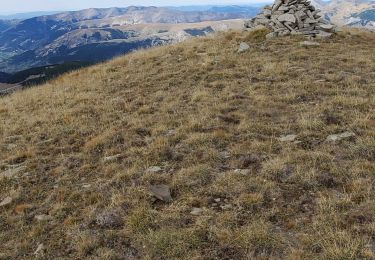
Trail Walking Beauvezer - 9130454 - Photo
 fagakra
fagakra

User

© OpenStreetMap contributors
Length
Length
17.3 km
Max alt
Max alt
2120 m
Uphill gradient
Uphill gradient
1012 m
Km-Effort
Km-Effort  
31 km
Min alt
Min alt
1268 m
Downhill gradient
Downhill gradient
1008 m
Boucle
Boucle
Yes
Creation date :
2022-10-26 18:43:05.0
Updated on :
2022-10-27 19:54:54.319

(0 Reviews)

Walking
Walking
6h59
Difficulty : Very difficult

Scan this QR Code to open this trail in the SityTrail application

FREE GPS app for hiking

Logo SityTrail SityTrail

IGN / Geographical institutes

Download SityTrail from the App Store Download SityTrail from Google Play

Logo SityTrail SityTrail World

The world is yours!

Download SityTrail from the App Store Download SityTrail from Google Play Download SityTrail on Huawei AppGallery

About

Trail Walking of 17.3 km to be discovered at Provence-Alpes-Côte d'Azur, Alpes-de-Haute-Provence, Beauvezer. This trail is proposed by fagakra.

Description

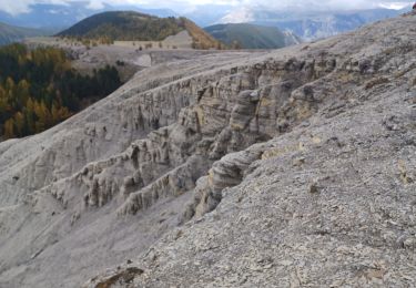
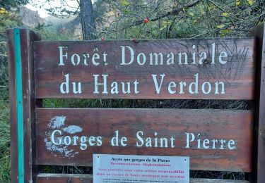
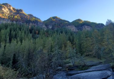
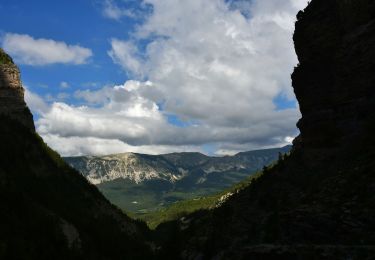
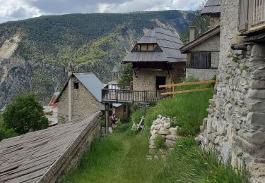
Parcours de 17km au départ du village de Villars-Heyssier (commune de Beauvezer). Magnifique parcours exclusivement réservé au marcheur (VTT interdits) mais assez technique et souvent à flan de falaise (attention si vertige). Accessible de mi-mai à fin octobre. Parking disponible au départ et chiens admis.

Elevation profile

Positioning

Country:
France
Region :
Provence-Alpes-Côte d'Azur
Department/Province :
Alpes-de-Haute-Provence
Municipality :
Beauvezer
Location:
Unknown
Start:(UTM)
307899 ; 4888915 (32T) N.

Trails nearby

Trail Walking Thorame-Haute - VILLARS HEYSIER .CABAN DE CONGERMAN  - Photo
Walking
GUIDE
RobinMicheline

Walking

Difficult
Thorame-Haute, Provence-Alpes-Côte d'Azur, Alpes-de-Haute-Provence, France
12.1 km | 20 km-effort
3h 36min
Yes
Trail Walking Beauvezer - 04.gorges st pierre 03.08.23 - Photo
Walking
GUIDE
randodyssée

Walking

Easy
Beauvezer, Provence-Alpes-Côte d'Azur, Alpes-de-Haute-Provence, France
4.6 km | 9 km-effort
1h 29min
No
Trail Walking Colmars - Les lacs Lignin - Photo
Walking
GUIDE
donda

Walking

Difficult
Colmars, Provence-Alpes-Côte d'Azur, Alpes-de-Haute-Provence, France
18.8 km | 29 km-effort
5h 33min
Yes
Trail Walking Beauvezer - les gorges de St-Pierre - Photo
Walking
GUIDE
amiral13

Walking

Easy
Beauvezer, Provence-Alpes-Côte d'Azur, Alpes-de-Haute-Provence, France
6.5 km | 12.7 km-effort
2h 3min
Yes
Trail Walking Beauvezer - VILLARS HEYSSIER . GORGES DE SAINT PIERRE O - Photo
Walking
GUIDE
RobinMicheline

Walking

Difficult
Beauvezer, Provence-Alpes-Côte d'Azur, Alpes-de-Haute-Provence, France
9.6 km | 18.4 km-effort
2h 51min
No
Trail Walking Colmars - Colmars petit coyer 993m 14kms - Photo
Walking
GUIDE
Danielba

Walking

Medium
Colmars, Provence-Alpes-Côte d'Azur, Alpes-de-Haute-Provence, France
13.3 km | 27 km-effort
6h 38min
Yes
Trail Walking Beauvezer - Pk Chapelle St Pierre - Gorges St Pierre - Cabanes Congerman et Orgéas - Ondres - D908 - Photo
Walking
LtZIP

Walking

Difficult
Beauvezer, Provence-Alpes-Côte d'Azur, Alpes-de-Haute-Provence, France
16.1 km | 28 km-effort
4h 43min
No
Trail Walking Beauvezer - villars heyssier gorges Saint Pierre 19kms 850m  - Photo
Walking
GUIDE
Danielba

Walking

Medium
Beauvezer, Provence-Alpes-Côte d'Azur, Alpes-de-Haute-Provence, France
17.1 km | 30 km-effort
7h 27min
Yes
Trail Walking Colmars - petit  coyer - Photo
Walking
GUIDE
Danielba

Walking

Medium
Colmars, Provence-Alpes-Côte d'Azur, Alpes-de-Haute-Provence, France
15.1 km | 29 km-effort
8h 5min
No


Close
My subscriptions