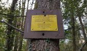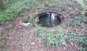

Châlonvillars - Mandrevillars

Bart2015
User

Length
9.5 km

Max alt
471 m

Uphill gradient
176 m

Km-Effort
11.9 km

Min alt
361 m

Downhill gradient
176 m
Boucle
Yes
Creation date :
2022-10-26 15:29:51.609
Updated on :
2022-10-27 11:13:01.7
1h33
Difficulty : Easy

FREE GPS app for hiking
About
Trail Walking of 9.5 km to be discovered at Bourgogne-Franche-Comté, Haute-Saône, Châlonvillars. This trail is proposed by Bart2015.
Description
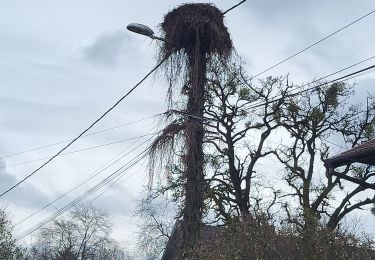
Petite balade sympa, peut-être aurez-vous la chance de voir les cigognes sur leur nid à Mandrevillars.
Bonne balade ...
Positioning
Country:
France
Region :
Bourgogne-Franche-Comté
Department/Province :
Haute-Saône
Municipality :
Châlonvillars
Location:
Unknown
Start:(Dec)
Start:(UTM)
333539 ; 5278306 (32T) N.
Comments
Trails nearby
VTT - Essert - Salbert - Vétrigne - Miotte - Citadelle Belfort - Essert


Electric bike
Difficult
Essert,
Bourgogne-Franche-Comté,
Territoire-de-Belfort,
France

42 km | 55 km-effort
4h 55min
Yes
Moto - Evette - Grand Ballon - Honneck - Lacs de Longemer puis de Gérardmer -...


Motorbike
Difficult
Évette-Salbert,
Bourgogne-Franche-Comté,
Territoire-de-Belfort,
France

195 km | 252 km-effort
5h 39min
Yes
VTT - Châlonvillars - Etobon - Ronchamp - Plancher-Bas - Malsaucy


Electric bike
Difficult
Châlonvillars,
Bourgogne-Franche-Comté,
Haute-Saône,
France

71 km | 90 km-effort
5h 50min
Yes
Banvillars - forts du Hauts Bois et du Bois d'Oye


Walking
Very difficult
Banvillars,
Bourgogne-Franche-Comté,
Territoire-de-Belfort,
France

16.3 km | 21 km-effort
4h 40min
Yes
Echenans et son fort


Walking
Very difficult
Mandrevillars,
Bourgogne-Franche-Comté,
Haute-Saône,
France

14.8 km | 19.6 km-effort
4h 27min
Yes
Châlonvillars - Fort du Salbert - Evette-Salbert


Walking
Difficult
(1)
Châlonvillars,
Bourgogne-Franche-Comté,
Haute-Saône,
France

11 km | 15.8 km-effort
3h 36min
Yes
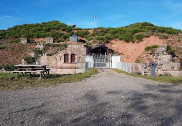
Châlonvillars - Fort Giromagny en passant au milieu des étangs


Mountain bike
Very difficult
Châlonvillars,
Bourgogne-Franche-Comté,
Haute-Saône,
France

40 km | 51 km-effort
3h 31min
Yes
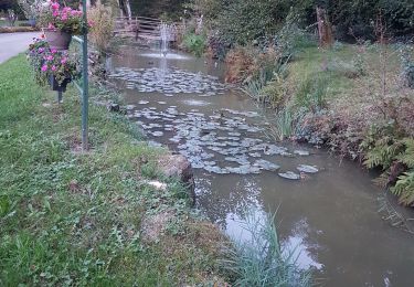
Châlonvillars - Menhir - Mandrevillars - Fort Essert et du Salbert


Mountain bike
Very difficult
Châlonvillars,
Bourgogne-Franche-Comté,
Haute-Saône,
France

31 km | 42 km-effort
2h 53min
Yes
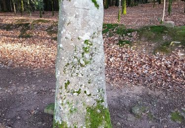
Châlonvillars - le mehnir - Mandrevillars


Walking
Medium
Châlonvillars,
Bourgogne-Franche-Comté,
Haute-Saône,
France

13.4 km | 17.1 km-effort
2h 39min
Yes


 SityTrail


