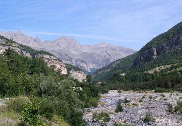
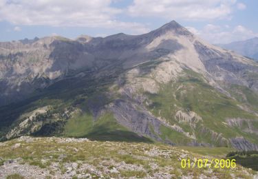
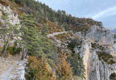
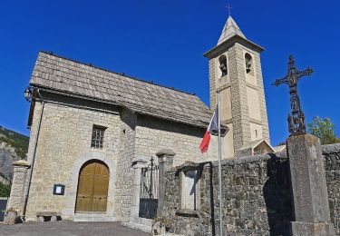
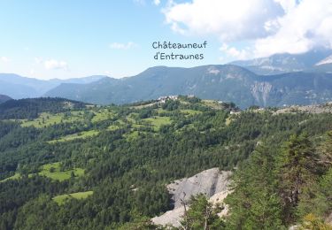
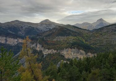
Trail Walking Châteauneuf-d'Entraunes - chateauneuf barlatte 1 - Photo
© OpenStreetMap contributors
Length
Length
7.5 km
Max alt
Max alt
1563 m
Uphill gradient
Uphill gradient
580 m
Km-Effort
Km-Effort  
15.3 km
Min alt
Min alt
1091 m
Downhill gradient
Downhill gradient
586 m
Boucle
Boucle
Yes
Creation date :
2022-10-23 17:47:06.292
Updated on :
2022-10-23 17:47:08.545

(1 Reviews)

Walking
Walking
3h28
Difficulty : Difficult

Scan this QR Code to open this trail in the SityTrail application

FREE GPS app for hiking

Logo SityTrail SityTrail

IGN / Geographical institutes

Download SityTrail from the App Store Download SityTrail from Google Play

Logo SityTrail SityTrail World

The world is yours!

Download SityTrail from the App Store Download SityTrail from Google Play Download SityTrail on Huawei AppGallery

About

Trail Walking of 7.5 km to be discovered at Provence-Alpes-Côte d'Azur, Maritime Alps, Châteauneuf-d'Entraunes. This trail is proposed by dianecoste.

Elevation profile

Positioning

Country:
France
Region :
Provence-Alpes-Côte d'Azur
Department/Province :
Maritime Alps
Municipality :
Châteauneuf-d'Entraunes
Location:
Unknown
Start:(UTM)
326475 ; 4888741 (32T) N.

Comments

Please log in to post a review or rate the element


Trails nearby

Trail On foot Villeneuve-d'Entraunes - Circuit Enaux-Sussis - Photo
On foot
PRO

On foot

Medium
Villeneuve-d'Entraunes, Provence-Alpes-Côte d'Azur, Maritime Alps, France
13.1 km | 23 km-effort
5h 8min
Yes
Trail On foot Châteauneuf-d'Entraunes - Cime de l'Aspre - Photo
On foot
PRO

On foot

Medium
Châteauneuf-d'Entraunes, Provence-Alpes-Côte d'Azur, Maritime Alps, France
14 km | 25 km-effort
5h 47min
Yes
Trail On foot Sauze - Hameaux de Sauze - Photo
On foot
PRO

On foot

Easy
Sauze, Provence-Alpes-Côte d'Azur, Maritime Alps, France
8.8 km | 14 km-effort
3h 11min
Yes
Trail Walking Châteauneuf-d'Entraunes - Cime de l’Aspre - Photo
Walking
bozo1970

Walking

Very difficult
Châteauneuf-d'Entraunes, Provence-Alpes-Côte d'Azur, Maritime Alps, France
17.1 km | 34 km-effort
7h 39min
Yes
Trail On foot Châteauneuf-d'Entraunes - Boucle de la Barlatte - Photo
On foot
PRO

On foot

Easy
Châteauneuf-d'Entraunes, Provence-Alpes-Côte d'Azur, Maritime Alps, France
6.5 km | 12.1 km-effort
2h 45min
Yes
Trail Walking Châteauneuf-d'Entraunes - Châteauneuf d'Entraunes Gorges de Saucha Negra, vers Cime Chamoussillon - Photo
Walking
GrouGary

Walking

Very easy
Châteauneuf-d'Entraunes, Provence-Alpes-Côte d'Azur, Maritime Alps, France
15.2 km | 29 km-effort
7h 2min
Yes
Trail Walking Guillaumes - Ruines de Theoulins - Photo
Walking
Marchopier

Walking

Medium
Guillaumes, Provence-Alpes-Côte d'Azur, Maritime Alps, France
16.4 km | 28 km-effort
7h 42min
Yes
Trail Walking Villeneuve-d'Entraunes - le pas Roubinous - Photo
Walking
bozo1970

Walking

Very difficult
Villeneuve-d'Entraunes, Provence-Alpes-Côte d'Azur, Maritime Alps, France
27 km | 50 km-effort
6h 40min
Yes
Trail Walking Sauze - 20190511 CAF big boucle Sauze - gorges Daluis - Photo
Walking
motardes04

Walking

Very difficult
Sauze, Provence-Alpes-Côte d'Azur, Maritime Alps, France
23 km | 40 km-effort
9h 30min
Yes


Close
My subscriptions