


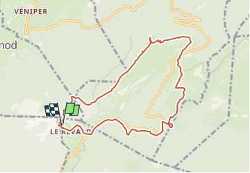

16.6 km | 24 km-effort

User


FREE GPS app for hiking
 SityTrail
IGN / Geographical institutes
SityTrail World
The world is yours!
Trail Walking of 7.3 km to be discovered at Auvergne-Rhône-Alpes, Savoy, Les Déserts. This trail is proposed by GuyVachet.
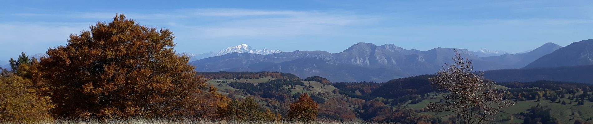
La boucle démarre à partir des belvédères du Revard qui offrent une superbe panorama sur le lac du Bourget (la meilleure heure étant le matin). Cette vue se poursuit jusqu'à la descente dans le vallon, cette première partie en crête depuis la Tour de l'Angle Est jusqu'à la Tour des Ébats (vue sur le Mont-Blanc avec les belles couleurs de l'automne) demande de l'attention sans toutefois être extrêmement difficile. La descente vers les Chalets de la Clusaz se fait sans problème tout comme la remontée qui passe par le parking de Crolles avant de retrouver le point de départ.


Walking

Walking

Walking
Walking
Walking

Walking

Walking
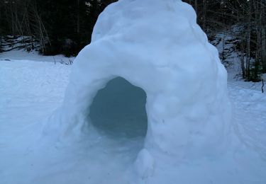
Snowshoes
Walking