
UBAYE Tête de Louis XVI

pascalspr
User

Length
7.4 km

Max alt
2380 m

Uphill gradient
986 m

Km-Effort
17.3 km

Min alt
1406 m

Downhill gradient
16 m
Boucle
No
Creation date :
2014-12-10 00:00:00.0
Updated on :
2014-12-10 00:00:00.0
4h08
Difficulty : Medium

FREE GPS app for hiking
About
Trail Walking of 7.4 km to be discovered at Provence-Alpes-Côte d'Azur, Alpes-de-Haute-Provence, Méolans-Revel. This trail is proposed by pascalspr.
Description
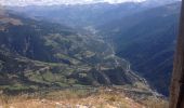
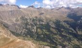
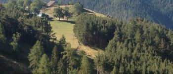
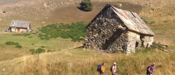
Première partie de montée sur chemin accroché au versant, très agréable en sous-bois, le dénivelé passe bien jusqu'à la bergerie. Poursuite dans l'alpage jusqu'au col. Belle vue panoramique au sommet.
Positioning
Country:
France
Region :
Provence-Alpes-Côte d'Azur
Department/Province :
Alpes-de-Haute-Provence
Municipality :
Méolans-Revel
Location:
Unknown
Start:(Dec)
Start:(UTM)
298546 ; 4920668 (32T) N.
Comments
Trails nearby
lac noir (col du bas)


Walking
Easy
(1)
Le Lauzet-Ubaye,
Provence-Alpes-Côte d'Azur,
Alpes-de-Haute-Provence,
France

11.9 km | 22 km-effort
4h 29min
Yes
lac du milieu


Walking
Easy
(2)
Le Lauzet-Ubaye,
Provence-Alpes-Côte d'Azur,
Alpes-de-Haute-Provence,
France

8.2 km | 15.6 km-effort
2h 53min
Yes

tour au sud de Méolans


Mountain bike
Medium
(1)
Méolans-Revel,
Provence-Alpes-Côte d'Azur,
Alpes-de-Haute-Provence,
France

15.9 km | 24 km-effort
1h 40min
Yes
Trou du Duc


Walking
Medium
Le Lauzet-Ubaye,
Provence-Alpes-Côte d'Azur,
Alpes-de-Haute-Provence,
France

14 km | 29 km-effort
6h 44min
Yes
Trou du Duc


Walking
Medium
Le Lauzet-Ubaye,
Provence-Alpes-Côte d'Azur,
Alpes-de-Haute-Provence,
France

14 km | 29 km-effort
7h 19min
Yes
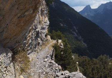
tête de Louis xiv, le Peissieou, Clochuille


Walking
Difficult
Méolans-Revel,
Provence-Alpes-Côte d'Azur,
Alpes-de-Haute-Provence,
France

13.1 km | 28 km-effort
4h 19min
Yes
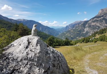
Petite Séolane


Walking
Difficult
Méolans-Revel,
Provence-Alpes-Côte d'Azur,
Alpes-de-Haute-Provence,
France

11.2 km | 28 km-effort
5h 33min
Yes
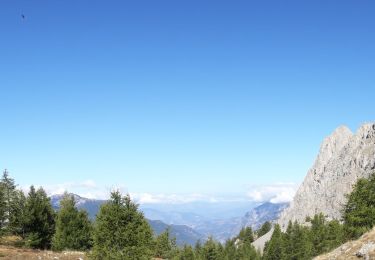
Boucle Col des Terres Blanches - Croix Chateau Renard 20/09/19


Walking
Very difficult
Méolans-Revel,
Provence-Alpes-Côte d'Azur,
Alpes-de-Haute-Provence,
France

9.9 km | 23 km-effort
4h 24min
Yes

tête de louis 16


Walking
Difficult
(1)
Méolans-Revel,
Provence-Alpes-Côte d'Azur,
Alpes-de-Haute-Provence,
France

13.4 km | 29 km-effort
7h 31min
Yes


 SityTrail


