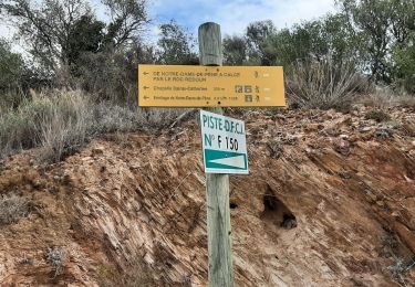
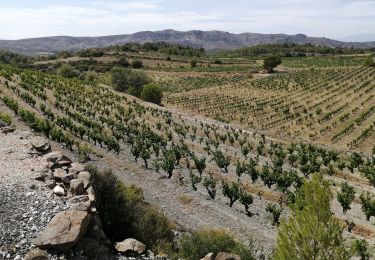
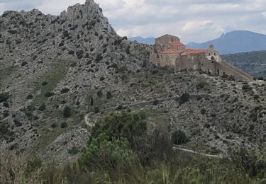
7.4 km | 11.5 km-effort
ESPIRA DE L'AGLY
MarcOBRECHT
User
Length
13.2 km
Max alt
176 m
Uphill gradient
214 m
Km-Effort
16.1 km
Min alt
22 m
Downhill gradient
214 m
Boucle
Yes
Creation date :
2022-10-18 06:55:43.949
Updated on :
2022-10-18 11:46:06.531
3h38
Difficulty : Medium
FREE GPS app for hiking
About
Trail Walking of 13.2 km to be discovered at Occitania, Pyrénées-Orientales, Espira-de-l'Agly. This trail is proposed by MarcOBRECHT.
Description
Depuis Le entre ville
Positioning
Country:
France
Region :
Occitania
Department/Province :
Pyrénées-Orientales
Municipality :
Espira-de-l'Agly
Location:
Unknown
Start:(Dec)
Start:(UTM)
486581 ; 4736160 (31T) N.
Comments
Trails nearby
Hermitage de case de pène, le 11 août 2013
Walking
Difficult
(2)
Cases-de-Pène,
Occitania,
Pyrénées-Orientales,
France
1h 55min
Yes
baixas chapelle ste catherine
Walking
Difficult
Baixas,
Occitania,
Pyrénées-Orientales,
France
9.5 km | 12.9 km-effort
3h 56min
Yes
2023-08-01_12h04m36_SityTrail - 3754591 - cases-de-pene-x-detour-et-retour
Walking
Medium
Cases-de-Pène,
Occitania,
Pyrénées-Orientales,
France
5 km | 6.1 km-effort
1h 23min
Yes
20230528 Nostradamus Seynora de Pene
Walking
Medium
Cases-de-Pène,
Occitania,
Pyrénées-Orientales,
France
15.3 km | 22 km-effort
4h 5min
Yes
espira montpins
Walking
Medium
Espira-de-l'Agly,
Occitania,
Pyrénées-Orientales,
France
9.2 km | 11.3 km-effort
2h 48min
Yes
20220419 Ermitage Cases-de-Pene
Walking
Medium
Cases-de-Pène,
Occitania,
Pyrénées-Orientales,
France
15.2 km | 22 km-effort
3h 42min
Yes
Boucle Baixas Calce
Walking
Very easy
Baixas,
Occitania,
Pyrénées-Orientales,
France
14.3 km | 18.8 km-effort
3h 41min
Yes
66 RIVESALTES promenade dans la cite, la vieille ville et rives d'Agly
Walking
Easy
Rivesaltes,
Occitania,
Pyrénées-Orientales,
France
5.2 km | 5.6 km-effort
1h 5min
Yes
66 PERPIGNAN polygone nord au Haut Vernet
Walking
Medium
Perpignan,
Occitania,
Pyrénées-Orientales,
France
10.4 km | 11 km-effort
1h 57min
Yes