


Boucle du Peak Naenbong

dudu42
User GUIDE
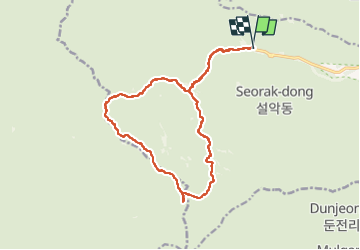

Length
21 km

Max alt
1264 m

Uphill gradient
1475 m
Km-Effort
40 km

Min alt
213 m

Downhill gradient
1478 m
Boucle
Yes
Creation date :
2022-10-16 22:57:11.638
Updated on :
2022-10-17 09:39:31.337
7h51
Difficulty : Very difficult

FREE GPS app for hiking
 SityTrail
IGN / Geographical institutes
SityTrail World
The world is yours!
About
Trail Walking of 21 km to be discovered at Unknown, Sokcho-si. This trail is proposed by dudu42.
Description
Randonnée très difficile !
montée difficile
Haut des Peak et redescente très très difficile (indiquée Expert sur les panneaux)
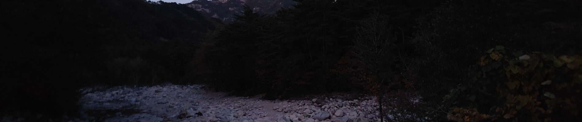
Photos


67 photos in total. Please click on a photo to see them all in the gallery.
Positioning
Country:
Korea, Republic of
Region :
Unknown
Department/Province :
Sokcho-si
Municipality :
Unknown
Location:
Unknown
Start:(Dec)
Start:(UTM)
455177 ; 4225274 (52S) N.
Comments
Trails nearby