


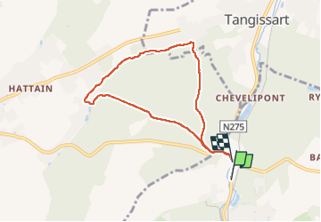

13.3 km | 16.4 km-effort

User


FREE GPS app for hiking
 SityTrail
IGN / Geographical institutes
SityTrail World
The world is yours!
Trail Walking of 6.6 km to be discovered at Wallonia, Walloon Brabant, Villers-la-Ville. This trail is proposed by ELISECRO.
jolis sous-bois MAIS grosses difficultés le long du Ry car les barrages des castors ont élargi le lit du ruisseau et difficile de traverser d'une rive à l'autre
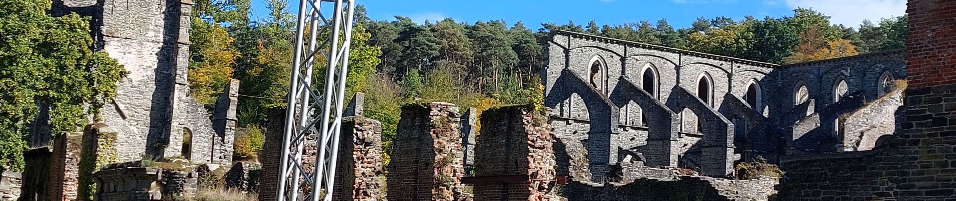
 - Photo 1")
 - Photo 2")
 - Photo 3")

Walking

Walking

Walking

Walking

Walking

Walking

Walking

Walking

Walking