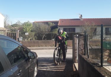
8.6 km | 13 km-effort
Gissac silvanes 42 km 600 plus
Patriste
User
Length
41 km
Max alt
623 m
Uphill gradient
887 m
Km-Effort
53 km
Min alt
333 m
Downhill gradient
885 m
Boucle
Yes
Creation date :
2022-10-15 12:49:48.97
Updated on :
2022-10-15 16:02:12.071
2h50
Difficulty : Difficult
FREE GPS app for hiking
About
Trail Mountain bike of 41 km to be discovered at Occitania, Aveyron, Montlaur. This trail is proposed by Patriste.
Positioning
Country:
France
Region :
Occitania
Department/Province :
Aveyron
Municipality :
Montlaur
Location:
Unknown
Start:(Dec)
Start:(UTM)
486492 ; 4858607 (31T) N.
Comments
Trails nearby
montaigut (la croix del pas, Serre del cabros,aygue lebade)
Walking
Medium
Gissac,
Occitania,
Aveyron,
France
1h 41min
Yes
Camares
Mountain bike
Very difficult
Montlaur,
Occitania,
Aveyron,
France
44 km | 57 km-effort
4h 5min
Yes
RS Gazels lac
Walking
Medium
Montlaur,
Occitania,
Aveyron,
France
5.2 km | 6.2 km-effort
1h 23min
Yes
Rebourguil 2023
Walking
Very difficult
Rebourguil,
Occitania,
Aveyron,
France
22 km | 31 km-effort
7h 7min
Yes
ASPTT du 2023/09/24
Walking
Medium
Montlaur,
Occitania,
Aveyron,
France
11.3 km | 14.4 km-effort
2h 44min
Yes
montlaur senégas
Mountain bike
Medium
Montlaur,
Occitania,
Aveyron,
France
25 km | 29 km-effort
1h 17min
Yes
le riale
Mountain bike
Difficult
Montlaur,
Occitania,
Aveyron,
France
39 km | 49 km-effort
4h 4min
Yes
20120812
Mountain bike
Easy
Montlaur,
Occitania,
Aveyron,
France
19.8 km | 25 km-effort
1h 50min
Yes