


7.2 km | 8 km-effort

User


FREE GPS app for hiking
 SityTrail
IGN / Geographical institutes
SityTrail World
The world is yours!
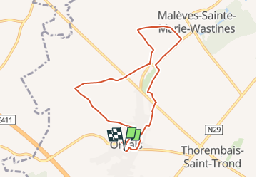
Trail Walking of 7.4 km to be discovered at Wallonia, Walloon Brabant, Perwez. This trail is proposed by Randos Ouvertes.
Version très légèrement modifiée du circuit communal (pour traverser le Parc Roi Baudouin au départ et emprunter le chemin n°1 de la chapelle Ste Barbe en fin de parcours).
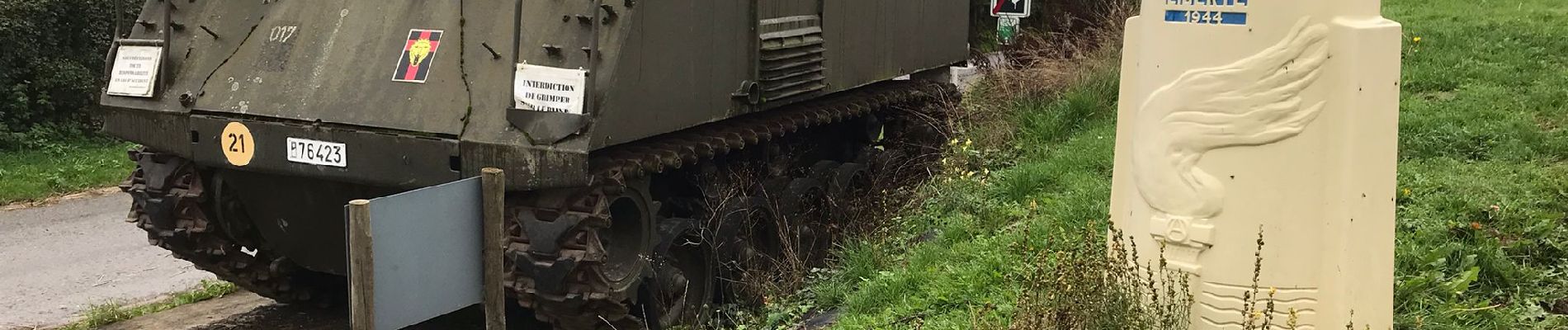
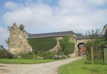
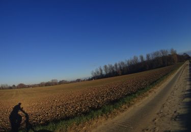
Perwez sait se souvenir de ceux qui ont participé à la libération de nos villages. C’est ainsi que ce parcours champêtre de 8 km rend honneur aux combattants de la Brigade Piron, dont un canon authentique matérialise le début de la promenade. La balade fait également découvrir au randonneur l’une des perles de la Hesbaye Brabançonne, le charmant village de Orbais, à travers son réseau de charmants sentiers réhabilités et désormais régulièrement entretenus (source : site communal de la ville de Perwez, ici https://cutt.ly/MBUL17U).
Descriptif complet ici. (version originale)
https://cutt.ly/QBULJyz
Page originale du circuit ici. (idem)
https://cutt.ly/3BUZV69
Crédit photos : Béatrice Wallsdorf et Anouk Henderickx
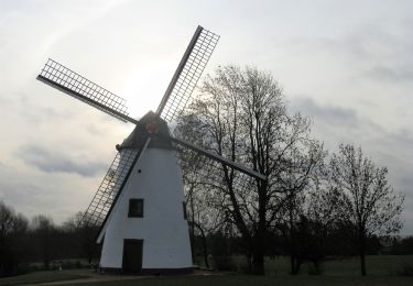
 - Photo 1")
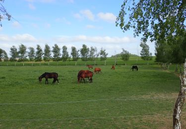
 - Photo 2")
 - Photo 3")
 - Photo 4")
 - Photo 5")
 - Photo 6")
 - Photo 7")
 - Photo 8")
 - Photo 9")
 - Photo 10")
 - Photo 11")
 - Photo 12")
 - Photo 13")
 - Photo 14")
 - Photo 15")
 - Photo 16")
 - Photo 17")
 - Photo 18")

Walking
On foot
Mountain bike
Walking
Walking
Walking
On foot
Walking
Walking