


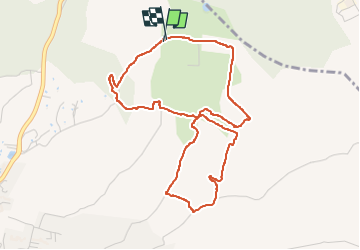

5.7 km | 6.6 km-effort


User


FREE GPS app for hiking
 SityTrail
IGN / Geographical institutes
SityTrail World
The world is yours!
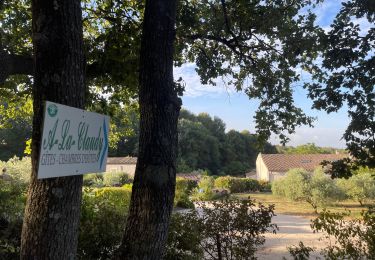
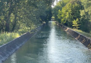
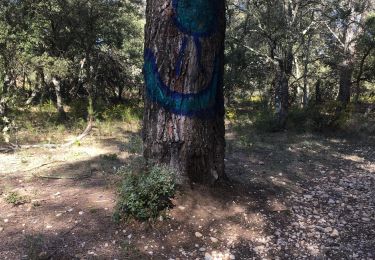
Trail Walking of 5.2 km to be discovered at Provence-Alpes-Côte d'Azur, Bouches-du-Rhône, Saint-Cannat. This trail is proposed by Ghislaine Blanchet.
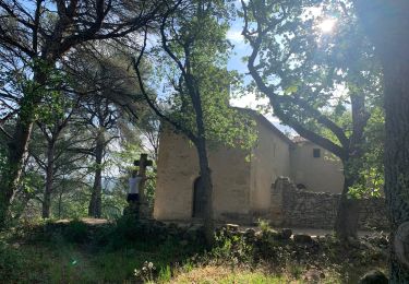
1) A voir au 2ème kerm (écroulé), sentier pour descendre à la fontaine DOUDONNE,
2) Au carrefour 5 chemins, prendre celui légèrement sur la gauche pour aller à la borie du bas,
3)Retour au carrefour, passer à travers les arbres pour voir une petite grotte (peut-être source tarie)
4) remonter par quelques marches sur la gauche et remonter le chemin à droite pour aller à la borie du haut
5) à la sortie cette borie, continuer sur la droite, au bout à gauche. PETIT RAIDILLON pour rejoindre le chemin du retour.

Walking
Walking
Walking
Walking
Walking
Walking
Walking
Walking
Walking