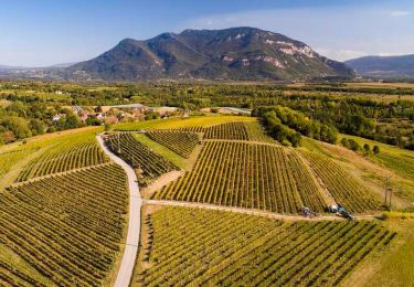
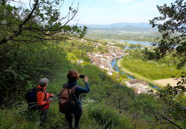
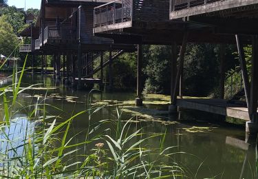
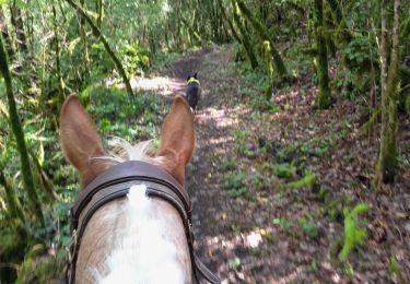
Trail Horseback riding Saint-Pierre-de-Curtille - CHA - J7 - 16/09 - St Pierre de Curtille > Artemare V2 - R - Photo

CHA - J7 - 16/09 - St Pierre de Curtille > Artemare V2 - R

 aeldin
aeldin

User

© OpenStreetMap contributors
Length
Length
27 km
Max alt
Max alt
519 m
Uphill gradient
Uphill gradient
239 m
Km-Effort
Km-Effort  
30 km
Min alt
Min alt
225 m
Downhill gradient
Downhill gradient
425 m
Boucle
Boucle
No
Creation date :
2022-10-13 13:06:05.649
Updated on :
2022-10-13 13:17:56.597

(0 Reviews)

Horseback riding
Horseback riding
4h37
Difficulty : Difficult

Scan this QR Code to open this trail in the SityTrail application

FREE GPS app for hiking

Logo SityTrail SityTrail

IGN / Geographical institutes

Download SityTrail from the App Store Download SityTrail from Google Play

Logo SityTrail SityTrail World

The world is yours!

Download SityTrail from the App Store Download SityTrail from Google Play Download SityTrail on Huawei AppGallery

About

Trail Horseback riding of 27 km to be discovered at Auvergne-Rhône-Alpes, Savoy, Saint-Pierre-de-Curtille. This trail is proposed by aeldin.

Elevation profile

Points of interest

Point of interest Saint-Pierre-de-Curtille - Château de Pomboz - Photo
aeldin
SAINT-PIERRE-DE-CURTILLE 
Point of interest Artemare - Le Poisson Volant - Photo
aeldin

Positioning

Country:
France
Region :
Auvergne-Rhône-Alpes
Department/Province :
Savoy
Municipality :
Saint-Pierre-de-Curtille
Location:
Unknown
Start:(UTM)
718065 ; 5072937 (31T) N.

Trails nearby

Trail Mountain bike Pollieu - Entre lac et rivière  - Photo
Mountain bike
sandrine-s01

Mountain bike

Difficult
(1)
Pollieu, Auvergne-Rhône-Alpes, Ain, France
30 km | 36 km-effort
2h 13min
Yes
Trail Road bike Massignieu-de-Rives - Activity - Photo
Road bike
Ladyclairdelune74

Road bike

Difficult
Massignieu-de-Rives, Auvergne-Rhône-Alpes, Ain, France
29 km | 35 km-effort
2h 9min
Yes
Trail Walking Chanaz - SAVOIE: CHANAZ - SAINT PIERRE DE CURTILLE - JONGIEUX - Photo
Walking
djeepee74

Walking

Difficult
Chanaz, Auvergne-Rhône-Alpes, Savoy, France
26 km | 37 km-effort
8h 19min
Yes
Trail Walking Ontex - MONT DE LA CHARVAZ: POINT GEODESIQUE DE LA CHARVAZ - Photo
Walking
djeepee74

Walking

Medium
(1)
Ontex, Auvergne-Rhône-Alpes, Savoy, France
8.5 km | 16.4 km-effort
3h 20min
Yes
Trail Walking Massignieu-de-Rives - Mont Lézieu - Massignieu de Rives  - Photo
Walking
tracegps

Walking

Easy
Massignieu-de-Rives, Auvergne-Rhône-Alpes, Ain, France
10.7 km | 14.7 km-effort
3h 49min
Yes
Trail Walking Ontex - M MONT CHARVAZ depuis Ontex - Photo
Walking
Toune73

Walking

Easy
(2)
Ontex, Auvergne-Rhône-Alpes, Savoy, France
10.7 km | 18.8 km-effort
4h 18min
Yes
Trail Walking Chanaz - Chanaz 2 - Photo
Walking
Jackoyo

Walking

Very easy
Chanaz, Auvergne-Rhône-Alpes, Savoy, France
12.1 km | 15.5 km-effort
2h 40min
Yes
Trail Walking Chanaz - Chanaz - Photo
Walking
Sylvain Ravillard

Walking

Easy
Chanaz, Auvergne-Rhône-Alpes, Savoy, France
5.3 km | 6 km-effort
2h 26min
No
Trail Horseback riding Lucey - lucey / Serrieres en chautagne  - Photo
Horseback riding
Nolene

Horseback riding

Medium
Lucey, Auvergne-Rhône-Alpes, Savoy, France
32 km | 44 km-effort
9h 24min
No


Close
My subscriptions