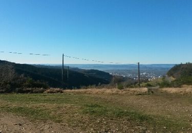
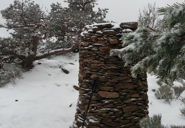
Trail Other activity Saint-Chamond - fontanes - Photo
 rubub
rubub

User

© OpenStreetMap contributors
Length
Length
34 km
Max alt
Max alt
865 m
Uphill gradient
Uphill gradient
1233 m
Km-Effort
Km-Effort  
50 km
Min alt
Min alt
441 m
Downhill gradient
Downhill gradient
1195 m
Boucle
Boucle
No
Creation date :
2014-12-10 00:00:00.0
Updated on :
2014-12-10 00:00:00.0

(0 Reviews)

Other activity
Other activity
10m
Difficulty : Unknown

Scan this QR Code to open this trail in the SityTrail application

FREE GPS app for hiking

Logo SityTrail SityTrail

IGN / Geographical institutes

Download SityTrail from the App Store Download SityTrail from Google Play

Logo SityTrail SityTrail World

The world is yours!

Download SityTrail from the App Store Download SityTrail from Google Play Download SityTrail on Huawei AppGallery

About

Trail Other activity of 34 km to be discovered at Auvergne-Rhône-Alpes, Loire, Saint-Chamond. This trail is proposed by rubub.

Elevation profile

Positioning

Country:
France
Region :
Auvergne-Rhône-Alpes
Department/Province :
Loire
Municipality :
Saint-Chamond
Location:
Unknown
Start:(UTM)
614095 ; 5036862 (31T) N.

Trails nearby

Trail Running Saint-Étienne - camps egauds ND Hermitage GR7 jasserie perdrix bessat Salvaris camps - Photo
Running
MathiasMathias

Running

Difficult
(1)
Saint-Étienne, Auvergne-Rhône-Alpes, Loire, France
39 km | 61 km-effort
4h 57min
Yes
Trail Running Saint-Étienne - salvaris sans bitume v0 - Photo
Running
MathiasMathias

Running

Medium
(1)
Saint-Étienne, Auvergne-Rhône-Alpes, Loire, France
10.9 km | 20 km-effort
1h 28min
Yes
Trail Walking Sorbiers - sorbier Gondran - Photo
Walking
Domdomii

Walking

Easy
(1)
Sorbiers, Auvergne-Rhône-Alpes, Loire, France
5.1 km | 6.6 km-effort
1h 26min
Yes
Trail Walking Sorbiers - Randonnée au dessus de Sorbiers  - Photo
Walking
dudu42

Walking

Medium
Sorbiers, Auvergne-Rhône-Alpes, Loire, France
16.4 km | 24 km-effort
4h 24min
Yes
Trail Cycle Saint-Chamond - samedi 13 août 22 - Photo
Cycle
ocharra

Cycle

Medium
(1)
Saint-Chamond, Auvergne-Rhône-Alpes, Loire, France
60 km | 73 km-effort
Unknown
Yes
Trail Walking La Valla-en-Gier - Le Chirat Le Bâcha. Rosillol  La Rivoire. - Photo
Walking
psesjs

Walking

Medium
La Valla-en-Gier, Auvergne-Rhône-Alpes, Loire, France
11.6 km | 19.1 km-effort
2h 44min
Yes
Trail Walking Saint-Étienne - Le tour du bois D'aveze - Photo
Walking
Domdomii

Walking

Very easy
Saint-Étienne, Auvergne-Rhône-Alpes, Loire, France
3.7 km | 5.3 km-effort
1h 31min
Yes
Trail Walking Sorbiers - sorbiers 23/2 - Photo
Walking
stefp42

Walking

Difficult
(1)
Sorbiers, Auvergne-Rhône-Alpes, Loire, France
23 km | 35 km-effort
4h 36min
Yes
Trail Walking Sorbiers - sorbiers - Photo
Walking
stefp42

Walking

Difficult
(1)
Sorbiers, Auvergne-Rhône-Alpes, Loire, France
23 km | 36 km-effort
4h 46min
Yes


Close
My subscriptions