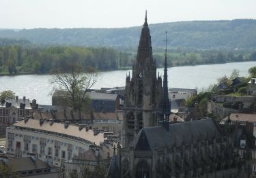
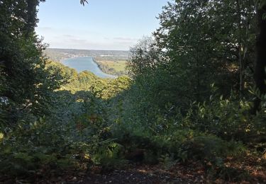
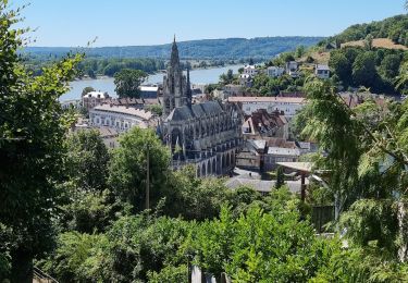
9.7 km | 12.5 km-effort
Forêt de Maulevrier
Sylber
User
Length
7.9 km
Max alt
133 m
Uphill gradient
149 m
Km-Effort
9.9 km
Min alt
37 m
Downhill gradient
151 m
Boucle
Yes
Creation date :
2022-10-11 11:34:16.29
Updated on :
2022-10-11 14:05:19.654
2h30
Difficulty : Medium
FREE GPS app for hiking
About
Trail Walking of 7.9 km to be discovered at Normandy, Seine-Maritime, Maulévrier-Sainte-Gertrude. This trail is proposed by Sylber.
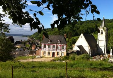
Positioning
Country:
France
Region :
Normandy
Department/Province :
Seine-Maritime
Municipality :
Maulévrier-Sainte-Gertrude
Location:
Unknown
Start:(Dec)
Start:(UTM)
335431 ; 5491499 (31U) N.
Comments
Trails nearby
allouille bellefosse
Walking
Very easy
(2)
Allouville-Bellefosse,
Normandy,
Seine-Maritime,
France
10.4 km | 12.6 km-effort
2h 30min
Yes
saint wandrille 76
Walking
Medium
Rives-en-Seine,
Normandy,
Seine-Maritime,
France
8.7 km | 11.5 km-effort
2h 41min
Yes
20220421-Caudebec en Caux Journée
Walking
Medium
Rives-en-Seine,
Normandy,
Seine-Maritime,
France
21 km | 27 km-effort
6h 34min
Yes
Touffreville la Corbeline
Walking
Difficult
(2)
Touffreville-la-Corbeline,
Normandy,
Seine-Maritime,
France
12.4 km | 14.4 km-effort
3h 20min
Yes
Les deux abbayes - Jumièges
Mountain bike
Medium
Rives-en-Seine,
Normandy,
Seine-Maritime,
France
50 km | 61 km-effort
6h 19min
Yes
Villequier
Walking
Medium
Rives-en-Seine,
Normandy,
Seine-Maritime,
France
9.3 km | 12 km-effort
2h 23min
Yes
les hauts de caudebecq en caux
Walking
Easy
Rives-en-Seine,
Normandy,
Seine-Maritime,
France
10 km | 13.3 km-effort
2h 32min
Yes
Allouville -Bellefosse
Walking
Difficult
(1)
Allouville-Bellefosse,
Normandy,
Seine-Maritime,
France
10.3 km | 12.5 km-effort
2h 52min
Yes