15 km | 18.2 km-effort
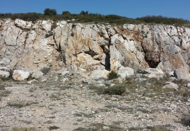
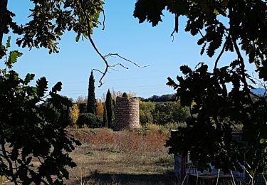
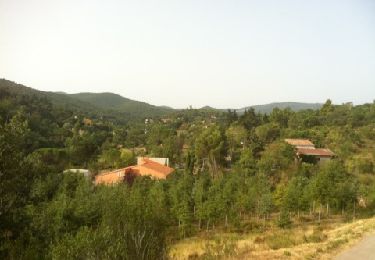
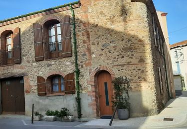
De st colome au roc de Majorque
Nadine Fernandez
User
Length
11.8 km
Max alt
439 m
Uphill gradient
486 m
Km-Effort
18.3 km
Min alt
155 m
Downhill gradient
490 m
Boucle
Yes
Creation date :
2022-10-10 08:10:21.362
Updated on :
2022-10-10 12:00:05.79
3h12
Difficulty : Difficult
FREE GPS app for hiking
About
Trail Walking of 11.8 km to be discovered at Occitania, Pyrénées-Orientales, Sainte-Colombe-de-la-Commanderie. This trail is proposed by Nadine Fernandez.
Positioning
Country:
France
Region :
Occitania
Department/Province :
Pyrénées-Orientales
Municipality :
Sainte-Colombe-de-la-Commanderie
Location:
Unknown
Start:(Dec)
Start:(UTM)
479363 ; 4718041 (31T) N.
Comments
Trails nearby
66 LLUPIA - FOURQUES - TERRATS promenade dans les ASPRES et son vignoble
Walking
Medium
(1)
Llupia,
Occitania,
Pyrénées-Orientales,
France
2h 36min
Yes
CASTELNOU 66 - CAMELAS - ermitage San Marti de La Roca
Walking
Difficult
(1)
Castelnou,
Occitania,
Pyrénées-Orientales,
France
10.8 km | 16.7 km-effort
2h 19min
Yes
Thuir à Castelnou
Walking
Medium
(1)
Thuir,
Occitania,
Pyrénées-Orientales,
France
14.1 km | 20 km-effort
4h 13min
Yes
Fourques
Walking
Very easy
(1)
Fourques,
Occitania,
Pyrénées-Orientales,
France
14.2 km | 16.4 km-effort
5h 17min
Yes
Thuir
Walking
Very easy
(1)
Castelnou,
Occitania,
Pyrénées-Orientales,
France
9.3 km | 12.1 km-effort
4h 4min
No
castel nous
Walking
Very easy
(1)
Castelnou,
Occitania,
Pyrénées-Orientales,
France
11.9 km | 16.7 km-effort
4h 0min
Yes
THUIR 66 - Castelnou - Ste Colombe de la C.
Walking
Medium
(2)
Sainte-Colombe-de-la-Commanderie,
Occitania,
Pyrénées-Orientales,
France
14.8 km | 21 km-effort
2h 56min
Yes
Montauriol : les points de vue.
Walking
Easy
(4)
Montauriol,
Occitania,
Pyrénées-Orientales,
France
4 km | 5.3 km-effort
1h 8min
Yes
fourques sentier des histoires
Walking
Medium
Fourques,
Occitania,
Pyrénées-Orientales,
France
9.1 km | 10.9 km-effort
2h 47min
Yes