


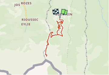

24 km | 44 km-effort


User


FREE GPS app for hiking
 SityTrail
IGN / Geographical institutes
SityTrail World
The world is yours!
Trail Walking of 18 km to be discovered at Occitania, Ariège, Bonac-Irazein. This trail is proposed by dawed311.
Attention piste très défoncée jusqu'à 1100m, en meilleur état au dessus jusqu'à la barrière.
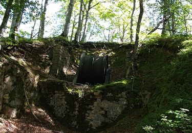
Rien de difficile hormis le dénivelé et la longueur mais le chemin est évident et monte en lacets faciles et réguliers. La mine la plus proche est facilement accessible malgré un court passage exposé. Pour le reste des mines, le chemin est avant le passage exposé, continuer la grimpette après le relais pour découvrir le chemin vertigineux.
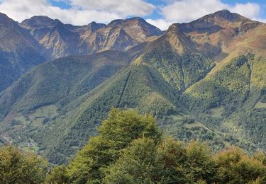
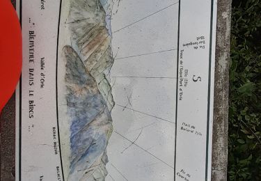
La vue des baraquements porte vers le Vallier, bouchée par la crête nord du Bulard côté Serre Haute-Crabere. Malgré, le mini Macchu Picchu ariégeois mérite une visite.
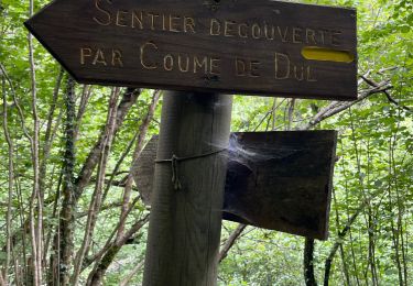
(Oubli de couper le gps pendant le casse croute, puis non pris sur le sentier des mines)

Walking
Walking
Walking
Walking
Walking

On foot
Walking
Walking
Walking