


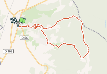

11.3 km | 15.4 km-effort

User GUIDE


FREE GPS app for hiking
 SityTrail
IGN / Geographical institutes
SityTrail World
The world is yours!
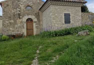
Trail Walking of 10.7 km to be discovered at Auvergne-Rhône-Alpes, Drôme, Allan. This trail is proposed by chancha.
Depuis le village fortifié, partez pour une longue balade à travers les bois, explorer la limite sud de notre territoire…


Walking

Walking

Walking

Mountain bike
Walking

Walking


sport
Walking
Walking