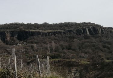
10.5 km | 15.5 km-effort
Claduégne
cousam
User
Length
3.9 km
Max alt
580 m
Uphill gradient
124 m
Km-Effort
5.5 km
Min alt
455 m
Downhill gradient
122 m
Boucle
Yes
Creation date :
2022-10-09 08:39:25.738
Updated on :
2022-10-10 10:53:59.303
2h19
Difficulty : Difficult
FREE GPS app for hiking
About
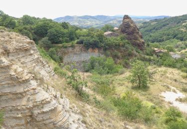
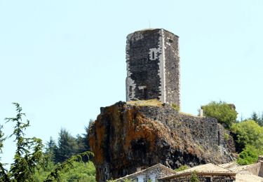
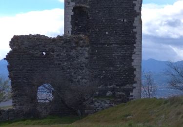
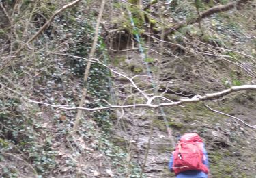
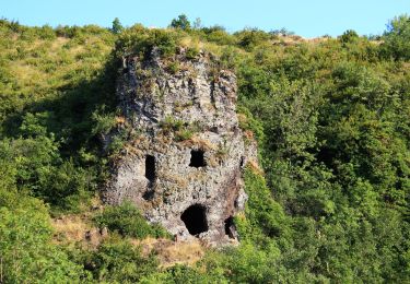
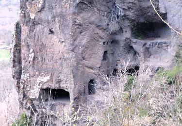
Trail Walking of 3.9 km to be discovered at Auvergne-Rhône-Alpes, Ardèche, Saint-Gineys-en-Coiron. This trail is proposed by cousam.
Description
Prévoir petite corde
Positioning
Country:
France
Region :
Auvergne-Rhône-Alpes
Department/Province :
Ardèche
Municipality :
Saint-Gineys-en-Coiron
Location:
Unknown
Start:(Dec)
Start:(UTM)
622811 ; 4943077 (31T) N.
Comments
Trails nearby
St-Pons" Roche-Cherie" 11km.
Walking
Difficult
(1)
Saint-Pons,
Auvergne-Rhône-Alpes,
Ardèche,
France
3h 31min
Yes
07 claduergue cpllt 1
Walking
Difficult
Saint-Gineys-en-Coiron,
Auvergne-Rhône-Alpes,
Ardèche,
France
3.5 km | 4.7 km-effort
55min
No
07 claduergue 09.10.2022 reco
Walking
Difficult
Saint-Gineys-en-Coiron,
Auvergne-Rhône-Alpes,
Ardèche,
France
7.6 km | 11.7 km-effort
4h 17min
Yes
07 mirabel
Walking
Easy
Mirabel,
Auvergne-Rhône-Alpes,
Ardèche,
France
6.3 km | 8.6 km-effort
2h 5min
Yes
07 cascade claduegne
Walking
Difficult
Saint-Gineys-en-Coiron,
Auvergne-Rhône-Alpes,
Ardèche,
France
4.8 km | 6.8 km-effort
3h 2min
Yes
07 balmes montbrun Mirabel zel 29.03.23
Walking
Medium
Saint-Jean-le-Centenier,
Auvergne-Rhône-Alpes,
Ardèche,
France
19 km | 28 km-effort
7h 44min
Yes
Saint pons
Walking
Medium
Saint-Pons,
Auvergne-Rhône-Alpes,
Ardèche,
France
16.1 km | 23 km-effort
5h 0min
Yes
St Gineys /Coiron
Walking
Difficult
Saint-Gineys-en-Coiron,
Auvergne-Rhône-Alpes,
Ardèche,
France
6.1 km | 9.4 km-effort
2h 55min
No
26 sceautre
Walking
Medium
Saint-Pons,
Auvergne-Rhône-Alpes,
Ardèche,
France
18.5 km | 28 km-effort
6h 12min
Yes
très jolie rivière. Sauf que le sentier n'existe pratiquement plus. La balade s'est donc transformée en rando aquatique, mais pas plus de 30 cm d'eau.