


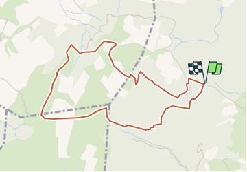

9.7 km | 11.9 km-effort


User


FREE GPS app for hiking
 SityTrail
IGN / Geographical institutes
SityTrail World
The world is yours!
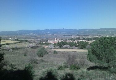
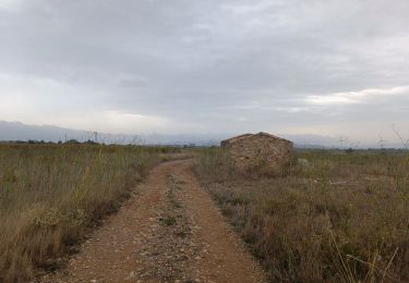
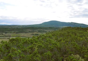
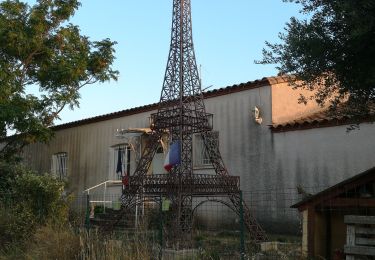
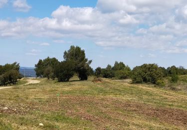
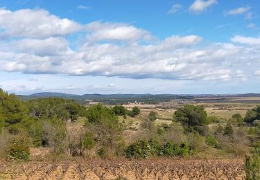
Trail Walking of 5.2 km to be discovered at Occitania, Aude, Lézignan-Corbières. This trail is proposed by Licianus2.
Départ du parking des socialistes. Petite balade qui évite au maximum les larges pistes empruntées par les camions de maintenance des éoliennes.
Walking

Walking
Walking

Walking
Walking
Walking

Walking
Walking
Walking