


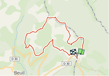

4.3 km | 6.6 km-effort

User


FREE GPS app for hiking
 SityTrail
IGN / Geographical institutes
SityTrail World
The world is yours!
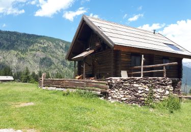
Trail Walking of 10.5 km to be discovered at Provence-Alpes-Côte d'Azur, Maritime Alps, Roubion. This trail is proposed by GrouGary.
Boucle dans les 2 sens, sans difficulté technique, pour randonnée pédestre ou raquettes.
R : en Raquettes, préférer monter sur le sommet du Countent au lieu de traverser sous le sommet du Countent car léger dévers sur zone un peu exposée.


Snowshoes

On foot

On foot

Walking

Snowshoes

Walking
Walking
Walking
Walking