


Peak Yeonsan

dudu42
User GUIDE
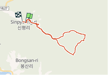


3h20
Difficulty : Difficult

FREE GPS app for hiking
 SityTrail
IGN / Geographical institutes
SityTrail World
The world is yours!
About
Trail Walking of 10.2 km to be discovered at Jeollanam-do, Suncheon-si. This trail is proposed by dudu42.
Description
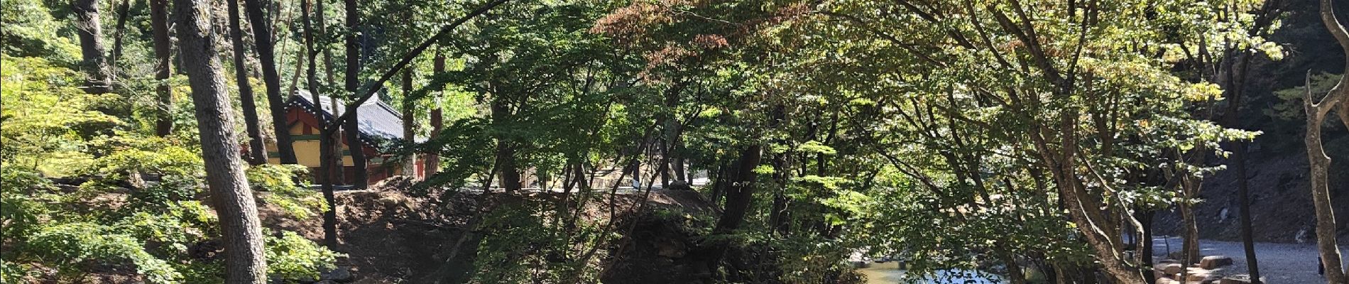
Belle randonnée en sous bois, montée un peu raide par endroits et très belle vue du sommet. La redescente par l autre côté est très pentue , accidentée et marche dans les éboulis. Sur la fin , très jolie car le long de la rivière .
Photos


37 photos in total. Please click on a photo to see them all in the gallery.
Positioning
Comments
Trails nearby