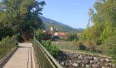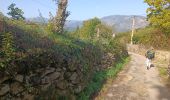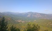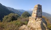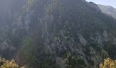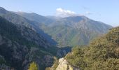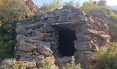

Jour 3 Pic du Canigou

jacques delaporte
User

Length
9.4 km

Max alt
2267 m

Uphill gradient
129 m

Km-Effort
16.1 km

Min alt
642 m

Downhill gradient
1638 m
Boucle
No
Creation date :
2022-10-06 05:49:37.064
Updated on :
2022-10-06 16:13:50.339
4h29
Difficulty : Difficult

FREE GPS app for hiking
About
Trail Walking of 9.4 km to be discovered at Occitania, Pyrénées-Orientales, Taurinya. This trail is proposed by jacques delaporte.
Description
Refuge des Cortalets - Vernet les bains.
- Refuge des Cortalets
- GR10- 36- T83- GRP
Camp de la Creu
- Chapelle Vernet
- La Poste
Total : 04h15 de marche.
Positioning
Country:
France
Region :
Occitania
Department/Province :
Pyrénées-Orientales
Municipality :
Taurinya
Location:
Unknown
Start:(Dec)
Start:(UTM)
456063 ; 4709253 (31T) N.
Comments
Trails nearby
Pic du Canigou par le refuge des Cortalets


Walking
Very difficult
(4)
Taurinya,
Occitania,
Pyrénées-Orientales,
France

7.8 km | 17.6 km-effort
6h 30min
Yes

le Canigou depuis le col de Millères


Walking
Difficult
(1)
Taurinya,
Occitania,
Pyrénées-Orientales,
France

22 km | 48 km-effort
8h 30min
Yes
20241013 Los Masos-Prat Cabrera…


sport
Very easy
Valmanya,
Occitania,
Pyrénées-Orientales,
France

13.1 km | 24 km-effort
Unknown
Yes
les mines du Salver


Walking
Easy
Taurinya,
Occitania,
Pyrénées-Orientales,
France

3 km | 4.7 km-effort
1h 41min
Yes
Jour 2 Pic du Canigou


Walking
Very difficult
Casteil,
Occitania,
Pyrénées-Orientales,
France

11.3 km | 24 km-effort
6h 36min
No
2022 TRANSPYRÉNÉENNE : refuge les Mariales le Canigou - les Cortalets - Refug...


Walking
Very difficult
Taurinya,
Occitania,
Pyrénées-Orientales,
France

18.1 km | 27 km-effort
4h 5min
No
2022 TRANSPYRÉNÉENNE : refuge des Marieles - Le Canihou- refuge des Cortalets


Walking
Very difficult
Casteil,
Occitania,
Pyrénées-Orientales,
France

15 km | 28 km-effort
4h 15min
No
20220227 Mas Maler- Mines de la Coume


Walking
Difficult
Estoher,
Occitania,
Pyrénées-Orientales,
France

15.2 km | 30 km-effort
5h 35min
Yes
les llacereras au départ taurynia


Walking
Medium
Taurinya,
Occitania,
Pyrénées-Orientales,
France

6.7 km | 16.3 km-effort
3h 3min
Yes


 SityTrail


