


Baie Sunchéon

dudu42
User GUIDE

Length
11.6 km

Max alt
88 m

Uphill gradient
143 m
Km-Effort
13.5 km

Min alt
0 m

Downhill gradient
144 m
Boucle
Yes
Creation date :
2022-10-06 03:06:17.301
Updated on :
2022-10-06 06:34:20.357
2h44
Difficulty : Difficult

FREE GPS app for hiking
 SityTrail
IGN / Geographical institutes
SityTrail World
The world is yours!
About
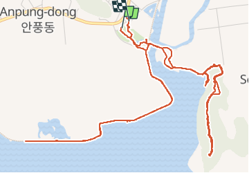
Trail Walking of 11.6 km to be discovered at Jeollanam-do, Suncheon-si. This trail is proposed by dudu42.
Description
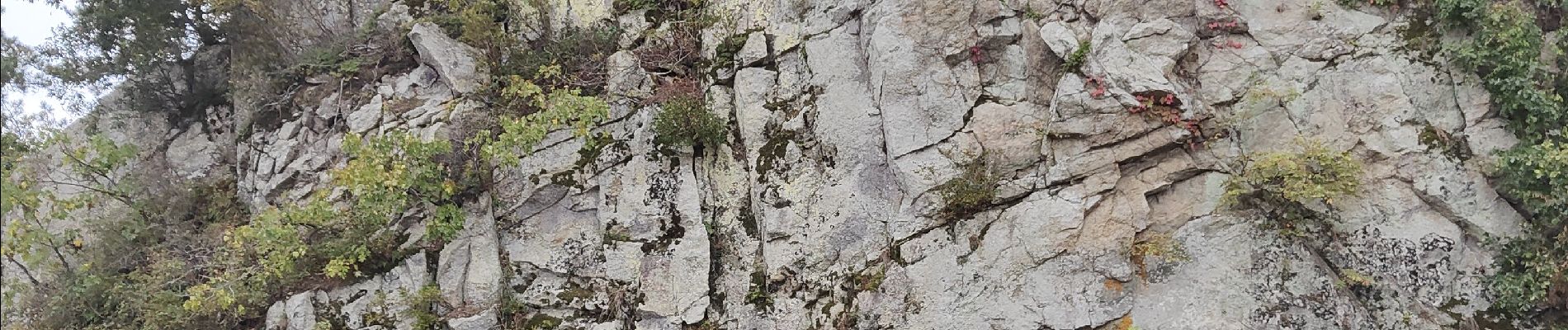
Réserve Parc Naturel
A visiter marée montante
A voir coucher de soleil
Photos


23 photos in total. Please click on a photo to see them all in the gallery.
Positioning
Country:
Korea, Republic of
Region :
Jeollanam-do
Department/Province :
Suncheon-si
Municipality :
Unknown
Location:
Unknown
Start:(Dec)
Start:(UTM)
363700 ; 3861422 (52S) N.
Comments
Trails nearby