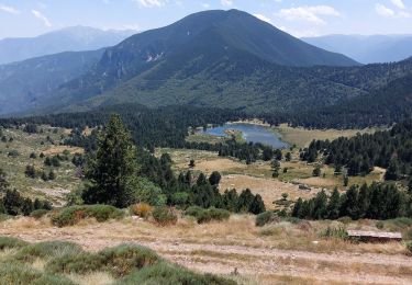
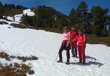
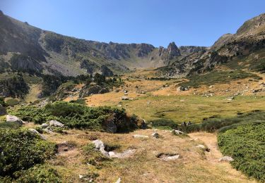
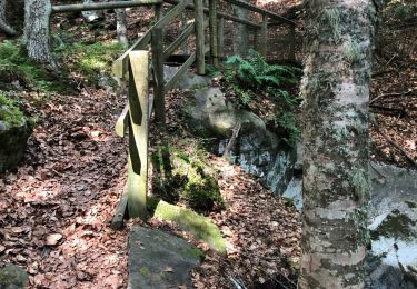
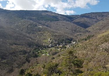
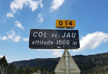
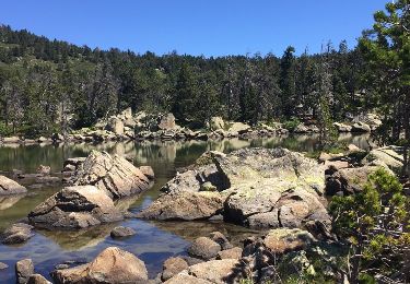
17.9 km | 32 km-effort
mosset le pic de madrés et le Bernet salvate
jeanic63
User
Length
17.8 km
Max alt
2466 m
Uphill gradient
1095 m
Km-Effort
32 km
Min alt
1423 m
Downhill gradient
1102 m
Boucle
Yes
Creation date :
2022-10-05 06:47:22.193
Updated on :
2022-10-05 21:12:59.241
9h00
Difficulty : Very difficult
FREE GPS app for hiking
About
Trail Walking of 17.8 km to be discovered at Occitania, Pyrénées-Orientales, Mosset. This trail is proposed by jeanic63.
Description
départ parking ancienne station de ski vers le col de Jau bien suivre mon tracé gpx pour le retour
Positioning
Country:
France
Region :
Occitania
Department/Province :
Pyrénées-Orientales
Municipality :
Mosset
Location:
Unknown
Start:(Dec)
Start:(UTM)
439468 ; 4725094 (31T) N.
Comments
Trails nearby
Nohedes les 3 lacs
Walking
Difficult
Nohèdes,
Occitania,
Pyrénées-Orientales,
France
15.7 km | 28 km-effort
6h 25min
Yes
NOHEDE
Walking
Very difficult
Nohèdes,
Occitania,
Pyrénées-Orientales,
France
16.8 km | 30 km-effort
5h 14min
Yes
20210827 Col de Jau-Bernard sauvage-Madrés
Walking
Medium
Mosset,
Occitania,
Pyrénées-Orientales,
France
18.6 km | 32 km-effort
5h 57min
Yes
Mosset 09 08 2020
Walking
Medium
Mosset,
Occitania,
Pyrénées-Orientales,
France
17.4 km | 24 km-effort
3h 0min
No
col de Jau n
Walking
Easy
Mosset,
Occitania,
Pyrénées-Orientales,
France
4.1 km | 7.1 km-effort
1h 17min
No
urbanya 2
Walking
Very easy
Urbanya,
Occitania,
Pyrénées-Orientales,
France
16.6 km | 26 km-effort
5h 25min
Yes
col de jau
Walking
Very easy
Mosset,
Occitania,
Pyrénées-Orientales,
France
14.8 km | 23 km-effort
4h 29min
Yes
les lacs de Nohede
Walking
Medium
Nohèdes,
Occitania,
Pyrénées-Orientales,
France
29 km | 55 km-effort
6h 44min
No