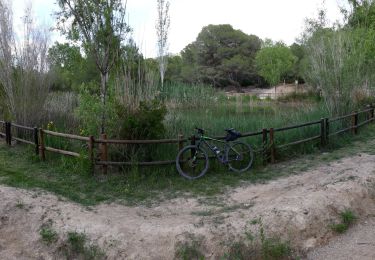
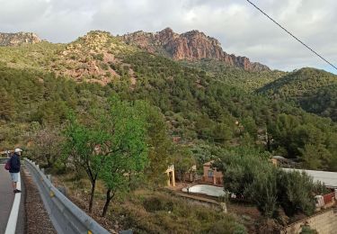
14.6 km | 20 km-effort
autour de olocau
nave
User
Length
14.2 km
Max alt
571 m
Uphill gradient
372 m
Km-Effort
19.6 km
Min alt
184 m
Downhill gradient
507 m
Boucle
No
Creation date :
2022-10-04 11:57:17.028
Updated on :
2022-10-04 15:32:49.464
3h34
Difficulty : Very difficult
FREE GPS app for hiking
About
Trail Walking of 14.2 km to be discovered at Valencian Community, Valencia, Olocau. This trail is proposed by nave.
Description
Randonnée de 3:30 h avec une montée un peu raide sur 30 minutes. Pas de réelle difficultés. Les bâtons peuvent être utiles
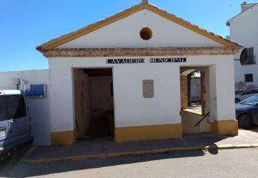
Positioning
Country:
Spain
Region :
Valencian Community
Department/Province :
Valencia
Municipality :
Olocau
Location:
Unknown
Start:(Dec)
Start:(UTM)
710684 ; 4397289 (30S) N.
Comments
Trails nearby
Soneja - La Dehesa
On foot
Medium
Soneja,
Valencian Community,
Castelló / Castellón,
Spain
4h 36min
No
Les Rodanes
On foot
Easy
Vilamarxant,
Valencian Community,
Valencia,
Spain
4.8 km | 7.1 km-effort
1h 36min
No
gilet
Walking
Easy
Sagunt / Sagunto,
Valencian Community,
Valencia,
Spain
6.9 km | 8.4 km-effort
1h 32min
Yes
Pico Garbi
Walking
Difficult
Segart,
Valencian Community,
Valencia,
Spain
7.6 km | 13.2 km-effort
2h 21min
Yes
Ruta patrionio
On foot
Easy
Chóvar,
Valencian Community,
Castelló / Castellón,
Spain
4.7 km | 8 km-effort
1h 49min
Yes
gr-10-circular-la-canal-del-garbi-un-pequeno-reto-penyes-del
Walking
Very difficult
Albalat dels Tarongers,
Valencian Community,
Valencia,
Spain
8.2 km | 14.2 km-effort
3h 1min
Yes
Font del Marianet-La Creu del Sierro
Walking
Easy
Serra,
Valencian Community,
Valencia,
Spain
7.7 km | 12.2 km-effort
2h 36min
Yes