


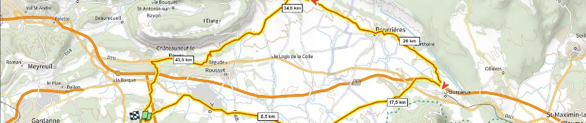
33 km | 43 km-effort

User


FREE GPS app for hiking
 SityTrail
IGN / Geographical institutes
SityTrail World
The world is yours!
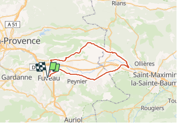
Trail Road bike of 49 km to be discovered at Provence-Alpes-Côte d'Azur, Bouches-du-Rhône, Fuveau. This trail is proposed by ericberlin.
Aller par la piste cyclable et la D6
Retour magnifique en corniche dans les vignes par Pourrières, Puyloubier et les Bannettes.


Mountain bike

Walking

Mountain bike

Road bike

Mountain bike

Walking

Road bike

Mountain bike

Road bike