


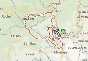


65 km | 93 km-effort

User GUIDE


FREE GPS app for hiking
 SityTrail
IGN / Geographical institutes
SityTrail World
The world is yours!
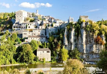
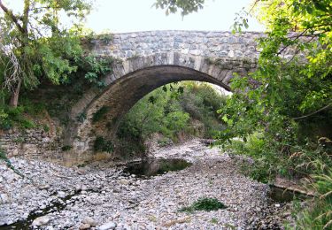
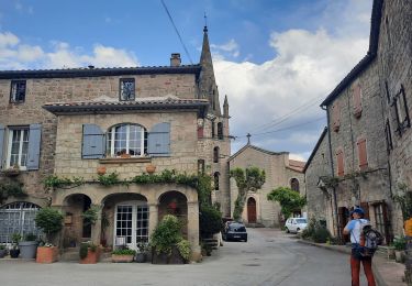
Trail Walking of 24 km to be discovered at Auvergne-Rhône-Alpes, Ardèche, Largentière. This trail is proposed by randodyssée.
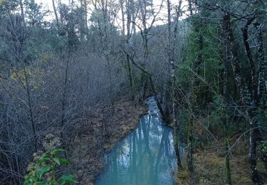
pas de Sentier ds rivière, mais une sente balisee orange qui sort ds une propriété.
redescente ds la rivière au retour très raide,
Sinon rando sympa


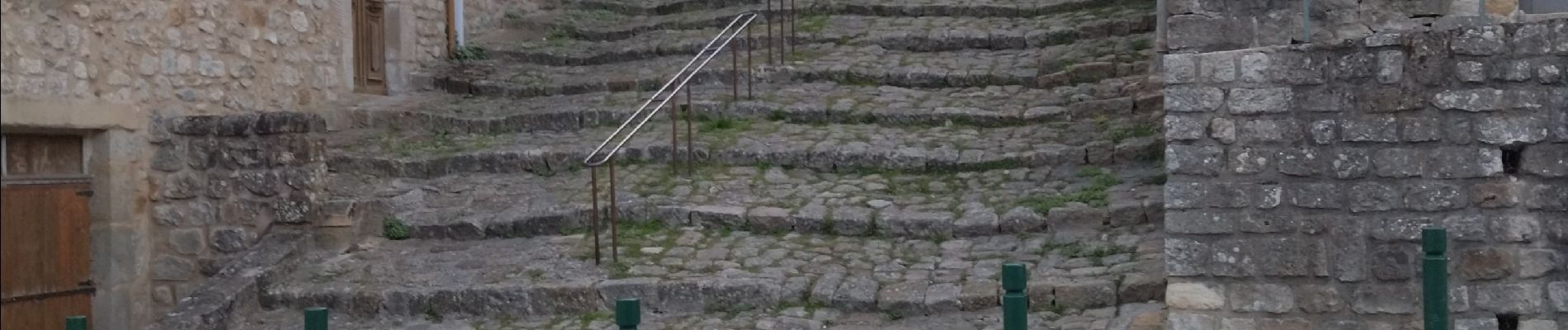
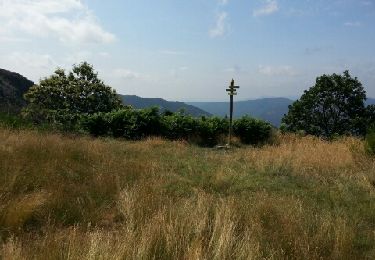
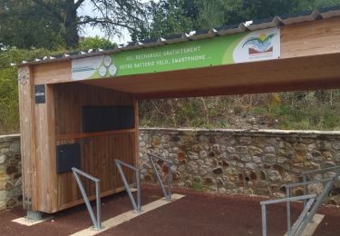
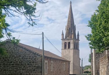
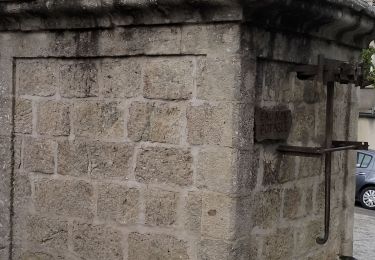
21 photos in total. Please click on a photo to see them all in the gallery.
Mountain bike

Walking
Walking
Road bike
Walking
Walking
Walking
On foot
Walking