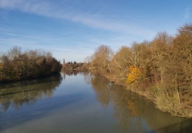
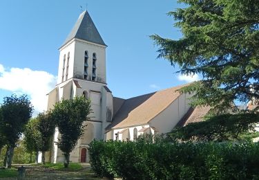
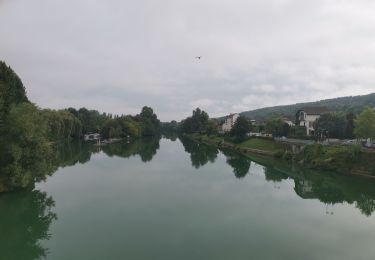
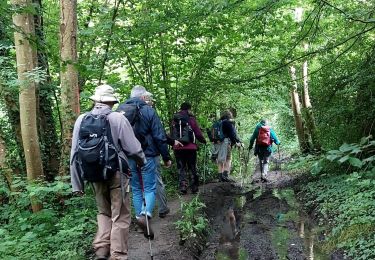
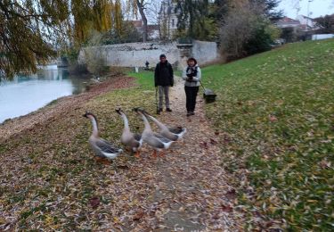
11.2 km | 13.2 km-effort
04-2022-Via Columbani du 2.10.2022
bene_dictus77
User
Length
12.6 km
Max alt
148 m
Uphill gradient
157 m
Km-Effort
14.6 km
Min alt
49 m
Downhill gradient
153 m
Boucle
No
Creation date :
2022-10-02 06:35:51.291
Updated on :
2022-10-02 11:29:30.811
3h38
Difficulty : Very easy
FREE GPS app for hiking
About
Trail Walking of 12.6 km to be discovered at Ile-de-France, Seine-et-Marne, Ussy-sur-Marne. This trail is proposed by bene_dictus77.
Description
De Ussy à la Ferré via Jouarre
Positioning
Country:
France
Region :
Ile-de-France
Department/Province :
Seine-et-Marne
Municipality :
Ussy-sur-Marne
Location:
Unknown
Start:(Dec)
Start:(UTM)
505249 ; 5422363 (31U) N.
Comments
Trails nearby
SityTrail - GR15 ttrace
Walking
Difficult
(1)
Changis-sur-Marne,
Ile-de-France,
Seine-et-Marne,
France
2h 59min
No
Jouarre et ses cryptes
Walking
Medium
(4)
Jouarre,
Ile-de-France,
Seine-et-Marne,
France
15.4 km | 18.4 km-effort
4h 0min
Yes
Tancrou du 22/10/2024
Walking
Difficult
Tancrou,
Ile-de-France,
Seine-et-Marne,
France
12 km | 13.8 km-effort
3h 7min
Yes
GR15-09 La Ferté-sous-Jouarre à Saâcy-sur-Marne
Walking
Difficult
La Ferté-sous-Jouarre,
Ile-de-France,
Seine-et-Marne,
France
13.4 km | 17.1 km-effort
3h 53min
No
LaFerteSousJouarre-boucle-2-6-2024-20Km
Walking
Easy
La Ferté-sous-Jouarre,
Ile-de-France,
Seine-et-Marne,
France
20 km | 25 km-effort
6h 44min
Yes
Ferté sous Jouarre et la Meulière
Walking
Very difficult
La Ferté-sous-Jouarre,
Ile-de-France,
Seine-et-Marne,
France
22 km | 25 km-effort
4h 36min
Yes
LA FERTE S/JOUARRE BOUCLE 13 KM
Walking
Very easy
(1)
La Ferté-sous-Jouarre,
Ile-de-France,
Seine-et-Marne,
France
12.4 km | 15.6 km-effort
3h 20min
Yes
CHANGIS --> TRILPORT 12 KM
Walking
Very easy
(1)
Changis-sur-Marne,
Ile-de-France,
Seine-et-Marne,
France
10.5 km | 12.7 km-effort
2h 43min
No
Abbaye de Jouarrre Grand parcours
Walking
Easy
(2)
Jouarre,
Ile-de-France,
Seine-et-Marne,
France
20 km | 25 km-effort
5h 5min
Yes