


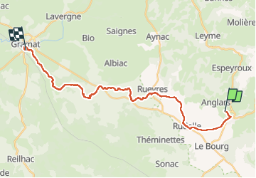

14.6 km | 17.3 km-effort


User


FREE GPS app for hiking
 SityTrail
IGN / Geographical institutes
SityTrail World
The world is yours!
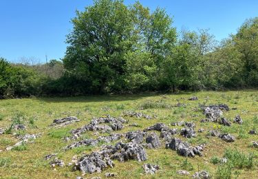
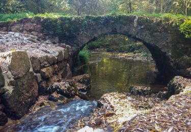
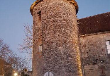
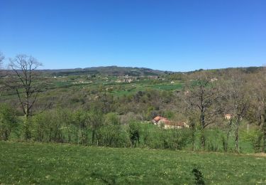
Trail Walking of 26 km to be discovered at Occitania, Lot, Lacapelle-Marival. This trail is proposed by Jean CORBERON.
2ème jour

Walking
Walking

Walking

Walking

Other activity

Moto cross