


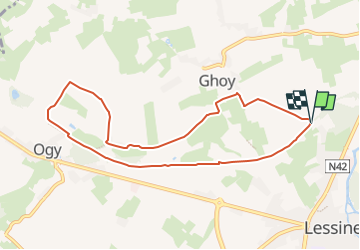

14.5 km | 16.9 km-effort


User


FREE GPS app for hiking
 SityTrail
IGN / Geographical institutes
SityTrail World
The world is yours!
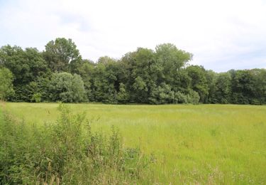
Trail Horseback riding of 8.1 km to be discovered at Wallonia, Hainaut, Lessines. This trail is proposed by eddyvermeulen1.
Trail created by Wallonie Picarde (Antenne Tournai) .
Deze 3 ruiter- en menroutes maken deel uit van de 7 grensoverschrijdende circuits die de région des Collines verbinden met de Vlaamse Ardennen. Bij regenweer kunnen ze wat problemen geven, maar ze blijven toegankelijk voor ruiters en alle types van paardenspannen. Met deze routes ontdekt u het land van Lessen. Vergeet uw fototoestel niet om enkele mooie plekjes te vereeuwigen: steengroeven, lijn 87... De RAVeL4 passeert vlakbij uw parcours. Hij verbindt Saint-Aybert met Overboelare en gebruikt vooral jaagpaden.
On foot
On foot

Equestrian

Equestrian
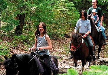
Equestrian
On foot

On foot

On foot

Walking