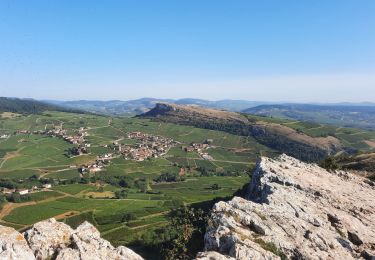
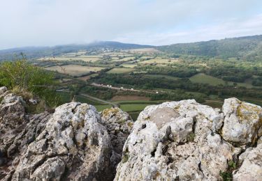
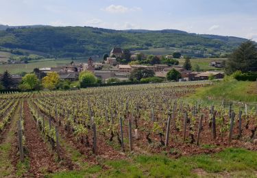
8.4 km | 12.2 km-effort
BJ-E5 bis
pascal.dabet
User
Length
18.7 km
Max alt
461 m
Uphill gradient
612 m
Km-Effort
26 km
Min alt
232 m
Downhill gradient
467 m
Boucle
No
Creation date :
2022-08-05 06:33:22.193
Updated on :
2022-10-01 14:41:02.542
7h01
Difficulty : Very difficult
FREE GPS app for hiking
About
Trail Walking of 18.7 km to be discovered at Bourgogne-Franche-Comté, Saône-et-Loire, Saint-Vérand. This trail is proposed by pascal.dabet.
Positioning
Country:
France
Region :
Bourgogne-Franche-Comté
Department/Province :
Saône-et-Loire
Municipality :
Saint-Vérand
Location:
Unknown
Start:(Dec)
Start:(UTM)
634271 ; 5123761 (31T) N.
Comments
Trails nearby
Mâcon - Sentier des crêtes 16/02/2020
Walking
Easy
(1)
Solutré-Pouilly,
Bourgogne-Franche-Comté,
Saône-et-Loire,
France
2h 11min
Yes
Roche de Solutré 4km
Walking
Easy
(1)
Solutré-Pouilly,
Bourgogne-Franche-Comté,
Saône-et-Loire,
France
3.7 km | 5.5 km-effort
2h 0min
Yes
roche de soluté, roche de Vergisson
Walking
Difficult
Solutré-Pouilly,
Bourgogne-Franche-Comté,
Saône-et-Loire,
France
11.2 km | 17.4 km-effort
4h 38min
Yes
Chénas - Le Venet
Walking
Very easy
Chénas,
Auvergne-Rhône-Alpes,
Rhône,
France
3.4 km | 4.5 km-effort
1h 1min
Yes
La roche de Solutré
Walking
Easy
Solutré-Pouilly,
Bourgogne-Franche-Comté,
Saône-et-Loire,
France
3.4 km | 4.8 km-effort
1h 17min
Yes
LEYNES 71
Walking
Difficult
Leynes,
Bourgogne-Franche-Comté,
Saône-et-Loire,
France
9.5 km | 12.7 km-effort
2h 38min
Yes
Vinzelles
Walking
Easy
(1)
Vinzelles,
Bourgogne-Franche-Comté,
Saône-et-Loire,
France
7.8 km | 10.1 km-effort
2h 6min
Yes
Chantré (Saône et Loire)
Walking
Medium
Chaintré,
Bourgogne-Franche-Comté,
Saône-et-Loire,
France
13.8 km | 18.5 km-effort
5h 37min
Yes
Chasselas (Saône- et-Loire région Bourgogne)
Walking
Difficult
Chasselas,
Bourgogne-Franche-Comté,
Saône-et-Loire,
France
15.1 km | 23 km-effort
5h 34min
Yes