


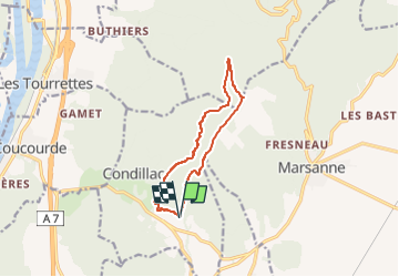

7.3 km | 11.7 km-effort

User GUIDE


FREE GPS app for hiking
 SityTrail
IGN / Geographical institutes
SityTrail World
The world is yours!
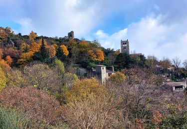
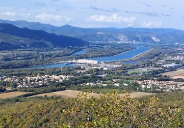
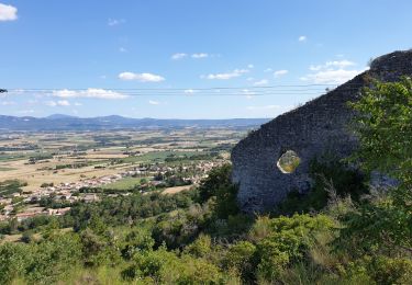
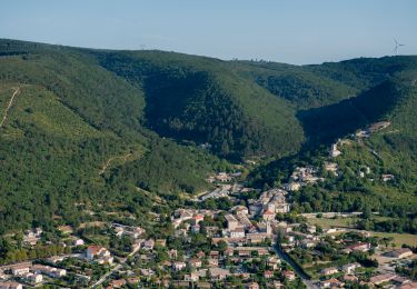
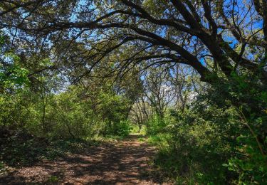
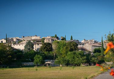
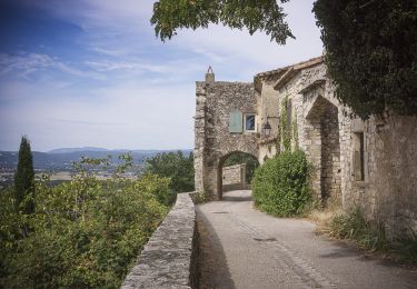
Trail Walking of 10.6 km to be discovered at Auvergne-Rhône-Alpes, Drôme, Condillac. This trail is proposed by chancha.
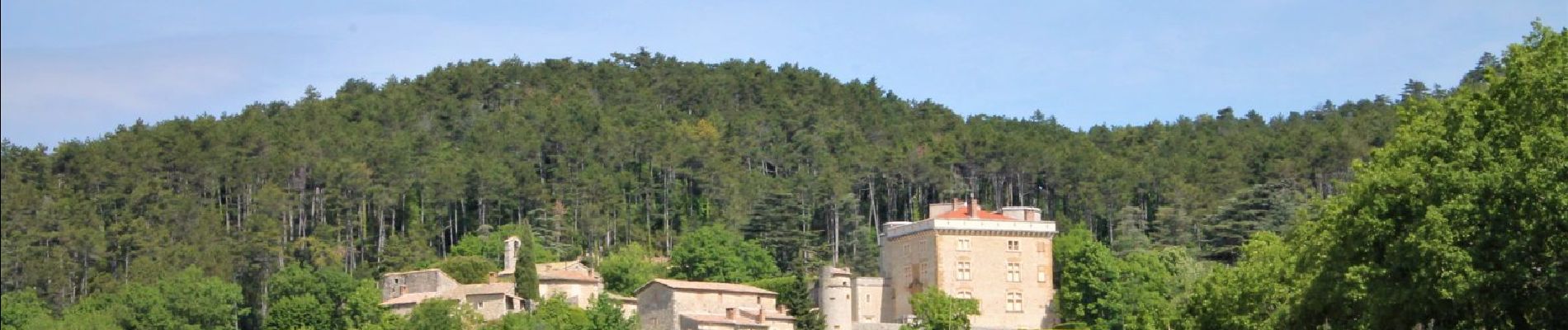
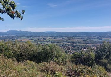
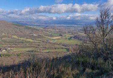
Garrigue de chênes verts, pinède, hêtraie: traversez les multiples visages de la forêt et profitez du versant ouest au coucher du soleil…


Walking
Walking
Walking
Walking
Walking
Walking
Walking
Walking
Walking