


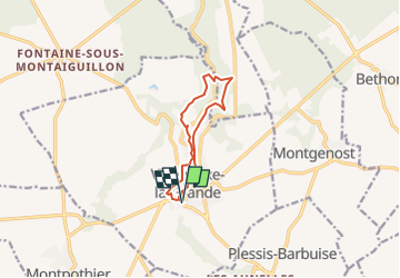

7.5 km | 9.1 km-effort

User


FREE GPS app for hiking
 SityTrail
IGN / Geographical institutes
SityTrail World
The world is yours!
Trail Walking of 8.6 km to be discovered at Grand Est, Aube, Villenauxe-la-Grande. This trail is proposed by jeannine grandjean.
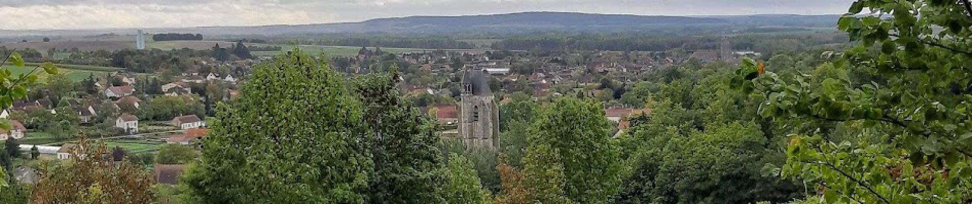
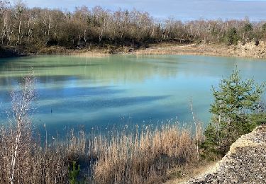
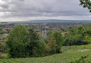
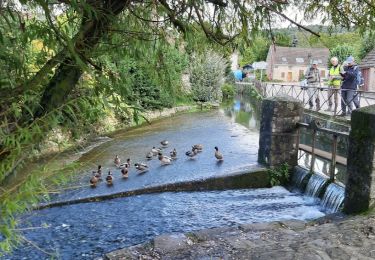
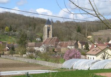
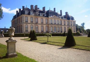
Jolie rando très variée à travers le village, les villes et les bois, de part et d'autre de la rivière Noxe.
Ne pas manquer l'église de Dival (monument historique devenu centre culturel), les anciens moulins, les cultures maraîchères...


Walking
Walking
Walking

Walking
Walking

Walking

Cycle
Walking