


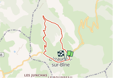

7.9 km | 11.2 km-effort

User GUIDE


FREE GPS app for hiking
 SityTrail
IGN / Geographical institutes
SityTrail World
The world is yours!
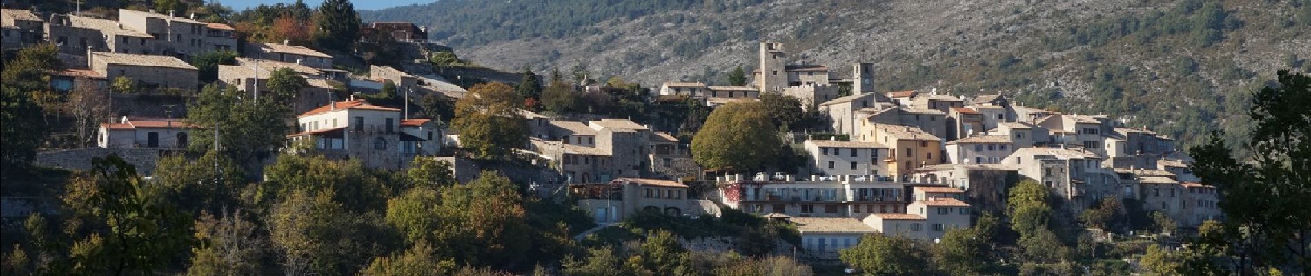
Trail Walking of 6.1 km to be discovered at Auvergne-Rhône-Alpes, Drôme, Bézaudun-sur-Bîne. This trail is proposed by chancha.
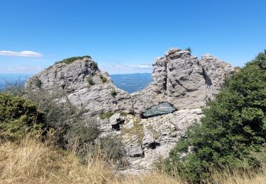
Au pied de la montagne de Couspeau et des Trois-Becs, ce circuit permet de faire le tour du Couguon et de profiter des points de vue dans une nature mêlant les senteurs de lavande, de genêt et de thym.


Walking

Walking

Walking

Walking

Road bike

Walking

Walking

Walking
Walking