


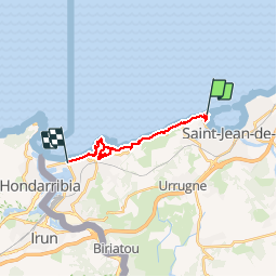

18.8 km | 27 km-effort


User


FREE GPS app for hiking
 SityTrail
IGN / Geographical institutes
SityTrail World
The world is yours!
Trail Walking of 14.6 km to be discovered at New Aquitaine, Pyrénées-Atlantiques, Ciboure. This trail is proposed by PVERTICAL.
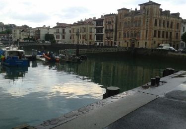
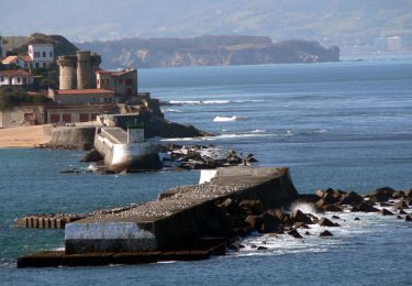
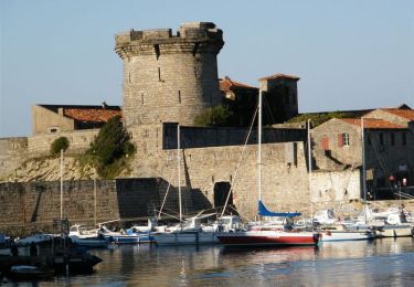
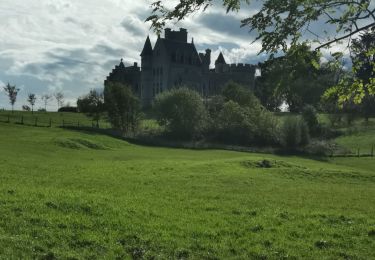
PORTION SOCOA/HENDAYE - avec détour château ABADIA - bus disponible depuis office du tourisme de Hendaye jusqu'à plage de Socoa


Walking

Walking

Mountain bike

Walking
Walking
Walking
Mountain bike
Walking
Walking