8 km | 8.4 km-effort
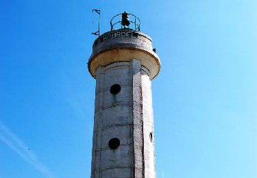
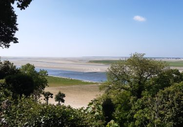
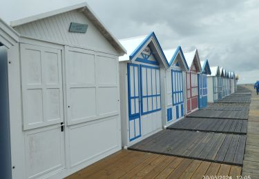
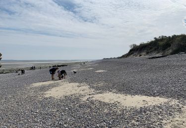
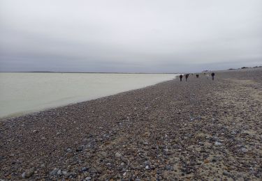
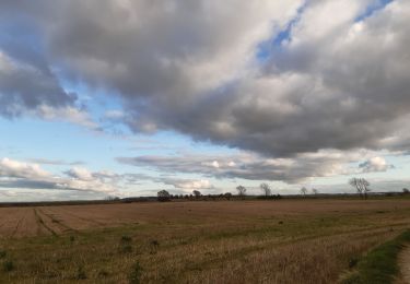
Digue de la gaité, le Hourdel, étang de Cayeux
roselinemazeyrat
User
Length
12.2 km
Max alt
10 m
Uphill gradient
37 m
Km-Effort
12.7 km
Min alt
-1 m
Downhill gradient
37 m
Boucle
No
Creation date :
2022-09-25 07:12:56.0
Updated on :
2022-09-26 10:09:17.119
3h08
Difficulty : Easy
FREE GPS app for hiking
About
Trail Nordic walking of 12.2 km to be discovered at Hauts-de-France, Somme, Lanchères. This trail is proposed by roselinemazeyrat.
Description
Bord de mer et arrière-pays
Positioning
Country:
France
Region :
Hauts-de-France
Department/Province :
Somme
Municipality :
Lanchères
Location:
Unknown
Start:(Dec)
Start:(UTM)
396603 ; 5561556 (31U) N.
Comments
Trails nearby
w-frankrijk-over-dijken-en-kwelders
Walking
Very easy
(2)
Saint-Valery-sur-Somme,
Hauts-de-France,
Somme,
France
13.8 km | 14.9 km-effort
Unknown
Yes
Cayeux-sur-Mer Cyclisme
Cycle
Easy
Cayeux-sur-Mer,
Hauts-de-France,
Somme,
France
17 km | 17.7 km-effort
1h 0min
Yes
Baie de Somme
Walking
Difficult
Saint-Valery-sur-Somme,
Hauts-de-France,
Somme,
France
25 km | 27 km-effort
5h 26min
Yes
entre le Hourdel et Cailleux
Walking
Medium
Cayeux-sur-Mer,
Hauts-de-France,
Somme,
France
9.7 km | 10.3 km-effort
2h 28min
No
Crayeux sur mer
Walking
Easy
Cayeux-sur-Mer,
Hauts-de-France,
Somme,
France
4.6 km | 4.8 km-effort
50min
Yes
Balade au Crotoy
On foot
Easy
Le Crotoy,
Hauts-de-France,
Somme,
France
9.9 km | 10.4 km-effort
2h 22min
Yes
Le Hourdel
On foot
Easy
Cayeux-sur-Mer,
Hauts-de-France,
Somme,
France
3.3 km | 3.4 km-effort
46min
No
Pointe du Hourdel (Baie de Somme)
Walking
Very easy
Cayeux-sur-Mer,
Hauts-de-France,
Somme,
France
6.8 km | 7.3 km-effort
2h 8min
No