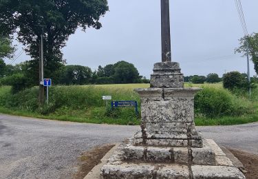
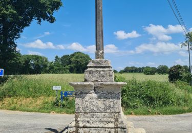
Trail Electric bike Rostrenen - Ecluse 150(pont de Bonen) Pontivy - Photo

Ecluse 150(pont de Bonen) Pontivy

© OpenStreetMap contributors
Length
Length
58 km
Max alt
Max alt
214 m
Uphill gradient
Uphill gradient
475 m
Km-Effort
Km-Effort  
64 km
Min alt
Min alt
56 m
Downhill gradient
Downhill gradient
576 m
Boucle
Boucle
No
Creation date :
2022-09-22 07:25:11.497
Updated on :
2022-10-05 19:01:29.425

(0 Reviews)

Electric bike
Electric bike
4h57
Difficulty : Very easy

Scan this QR Code to open this trail in the SityTrail application

FREE GPS app for hiking

Logo SityTrail SityTrail

IGN / Geographical institutes

Download SityTrail from the App Store Download SityTrail from Google Play

Logo SityTrail SityTrail World

The world is yours!

Download SityTrail from the App Store Download SityTrail from Google Play Download SityTrail on Huawei AppGallery

About

Trail Electric bike of 58 km to be discovered at Brittany, Côtes-d'Armor, Rostrenen. This trail is proposed by plavengut.

Description

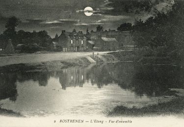
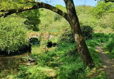
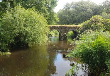
Toujours le long du canal de Nantes à Brest, mais beaucoup moins sauvage. Petite halte à Gouarec, pour voir le village et sa halle, puis quelques km après le magnifique site de l'abbaye de Bon repos (1184)
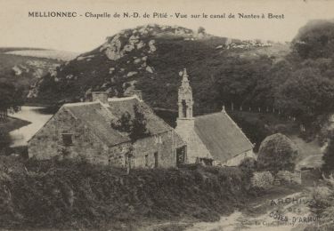
On quitte le canal pour contourner le lac de Guerledan par les hauteurs et une ancienne voie ferrée. Après une pause déjeuner à Saint Aignan on retrouve le canal. Puis petit détour pour aller visiter Notre Dame des Carmes, une pépite inattendue et sa fontaine.
Le soir visite de Pontivy


Elevation profile

Positioning

Country:
France
Region :
Brittany
Department/Province :
Côtes-d'Armor
Municipality :
Rostrenen
Location:
Unknown
Start:(UTM)
477345 ; 5339139 (30U) N.

Trails nearby

Trail On foot Rostrenen - Du Petit train à la vallée du Doré - Photo
On foot
GUIDE+

On foot

Easy
Rostrenen, Brittany, Côtes-d'Armor, France
10.5 km | 12.7 km-effort
2h 53min
No
Trail Walking Plouguernével - circuit de la rivière  - Photo
Walking
ollivier.albert

Walking

Medium
Plouguernével, Brittany, Côtes-d'Armor, France
8.3 km | 9.6 km-effort
2h 5min
Yes
Trail On foot Mellionnec - Circuit du Larron - Photo
On foot
GUIDE+

On foot

Easy
Mellionnec, Brittany, Côtes-d'Armor, France
11.8 km | 14.6 km-effort
3h 18min
Yes
Trail Walking Plouguernével - GR_37_DI_06_Plouguernevel_Glomel_20200621 - Photo
Walking
patrickdanilo

Walking

Very easy
Plouguernével, Brittany, Côtes-d'Armor, France
19.4 km | 24 km-effort
5h 1min
No
Trail Walking Glomel - La grande tranchée - Photo
Walking
Claudele

Walking

Easy
Glomel, Brittany, Côtes-d'Armor, France
9.1 km | 10.7 km-effort
2h 56min
Yes
Trail Walking Glomel - Tour de l'etang du Corong depuis Mézouët - Photo
Walking
Claudele

Walking

Easy
Glomel, Brittany, Côtes-d'Armor, France
12 km | 13.9 km-effort
4h 49min
Yes
Trail Horseback riding Mellionnec - Mellionnec: boucle Ouest - Photo
Horseback riding
xhakon

Horseback riding

Easy
Mellionnec, Brittany, Côtes-d'Armor, France
10.1 km | 12.5 km-effort
1h 30min
Yes
Trail Horseback riding Mellionnec - Mellionnec: tour du Larron - Photo
Horseback riding
xhakon

Horseback riding

Easy
Mellionnec, Brittany, Côtes-d'Armor, France
13.9 km | 17 km-effort
2h 45min
Yes
Trail Cycle Rostrenen - 5 Rostronen-Gouarec - Photo
Cycle
plevier

Cycle

Very easy
Rostrenen, Brittany, Côtes-d'Armor, France
13.1 km | 14.3 km-effort
50min
No


Close
My subscriptions