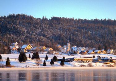
10.4 km | 13.8 km-effort
remoray
dcharbonnier
User
Length
14.3 km
Max alt
1066 m
Uphill gradient
371 m
Km-Effort
19.4 km
Min alt
855 m
Downhill gradient
420 m
Boucle
No
Creation date :
2022-09-22 07:51:01.729
Updated on :
2022-09-22 13:26:47.828
5h34
Difficulty : Very difficult
FREE GPS app for hiking
About
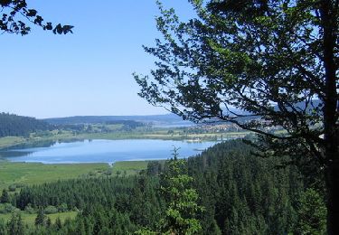
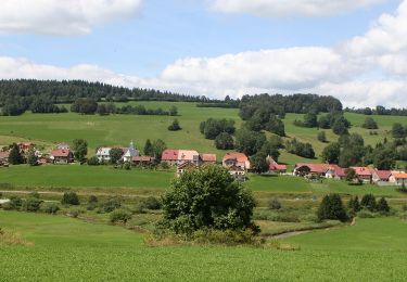
Trail Walking of 14.3 km to be discovered at Bourgogne-Franche-Comté, Doubs, Remoray-Boujeons. This trail is proposed by dcharbonnier.
Positioning
Country:
France
Region :
Bourgogne-Franche-Comté
Department/Province :
Doubs
Municipality :
Remoray-Boujeons
Location:
Unknown
Start:(Dec)
Start:(UTM)
289003 ; 5183497 (32T) N.
Comments
Trails nearby
Remoray-Boujeons - Le Belvédère des deux Lacs
Walking
Difficult
(1)
Remoray-Boujeons,
Bourgogne-Franche-Comté,
Doubs,
France
2h 58min
Yes
Le Belvédère des 2 lacs - Doubs
Walking
Difficult
(1)
Remoray-Boujeons,
Bourgogne-Franche-Comté,
Doubs,
France
13.7 km | 19 km-effort
4h 0min
Yes
bonnevaux (près Frasne)
Walking
Medium
(1)
Bonnevaux,
Bourgogne-Franche-Comté,
Doubs,
France
18.4 km | 24 km-effort
4h 50min
Yes
Boucle autour de la baume champion
Walking
Medium
Remoray-Boujeons,
Bourgogne-Franche-Comté,
Doubs,
France
8.5 km | 10.9 km-effort
2h 28min
Yes
Le Rivier
On foot
Easy
Rondefontaine,
Bourgogne-Franche-Comté,
Doubs,
France
9.5 km | 12.5 km-effort
2h 51min
Yes
La Ronde des Deux Villages
On foot
Easy
Saint-Point-Lac,
Bourgogne-Franche-Comté,
Doubs,
France
5.5 km | 7.3 km-effort
1h 40min
Yes
Lac de Remoray
Walking
Easy
Labergement-Sainte-Marie,
Bourgogne-Franche-Comté,
Doubs,
France
14.5 km | 18.4 km-effort
3h 25min
No
REMORAY - au-dessus du village
Walking
Medium
(1)
Remoray-Boujeons,
Bourgogne-Franche-Comté,
Doubs,
France
8.6 km | 11.7 km-effort
2h 28min
Yes
Mont d'Or par les gorges du Fourperet - Franche-Comté, France
Mountain bike
Difficult
Labergement-Sainte-Marie,
Bourgogne-Franche-Comté,
Doubs,
France
23 km | 33 km-effort
4h 0min
Yes