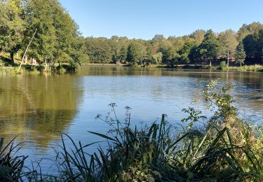
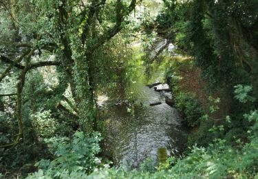
14 km | 16.9 km-effort
188- la boucle de Saint Eloi
Pierre-yves Leclerc
User
Length
14.2 km
Max alt
121 m
Uphill gradient
144 m
Km-Effort
16.1 km
Min alt
73 m
Downhill gradient
144 m
Boucle
Yes
Creation date :
2022-09-21 06:43:01.711
Updated on :
2022-09-21 10:10:18.169
3h26
Difficulty : Medium
FREE GPS app for hiking
About
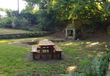
Trail Walking of 14.2 km to be discovered at Brittany, Morbihan, Questembert. This trail is proposed by Pierre-yves Leclerc.
Positioning
Country:
France
Region :
Brittany
Department/Province :
Morbihan
Municipality :
Questembert
Location:
Unknown
Start:(Dec)
Start:(UTM)
541882 ; 5278515 (30T) N.
Comments
Trails nearby
PR_56_Questembert_AA_01_Circuit1b_Sentier-Des-Popinettes_20200521
Walking
Easy
(1)
Questembert,
Brittany,
Morbihan,
France
3h 41min
Yes
AUDAX 50 KMS QUESTEMBERT
Walking
Difficult
Questembert,
Brittany,
Morbihan,
France
51 km | 59 km-effort
8h 35min
Yes
PR_56_Questembert_BA_02_Circuit1b_La-Boucle-Du-St-Eloi_20220807
Walking
Easy
Questembert,
Brittany,
Morbihan,
France
9.8 km | 11.2 km-effort
1h 59min
Yes
Boucles du Bois de St Martin
On foot
Easy
Questembert,
Brittany,
Morbihan,
France
3.6 km | 4.6 km-effort
1h 2min
Yes
228 - rando de Cela à Saint Doué par la Vraie Croix
Walking
Easy
Questembert,
Brittany,
Morbihan,
France
13.6 km | 15.8 km-effort
3h 21min
No
181 La boucle de Brangolo
Walking
Easy
Questembert,
Brittany,
Morbihan,
France
14.9 km | 17.3 km-effort
3h 31min
No
castel
Walking
Very difficult
Questembert,
Brittany,
Morbihan,
France
55 km | 68 km-effort
8h 45min
No
SityTrail - 3312871 - sentier-des-popinettesx-questembert
sport
Very easy
Questembert,
Brittany,
Morbihan,
France
14.5 km | 17.5 km-effort
Unknown
Yes
questembert
Walking
Very easy
Questembert,
Brittany,
Morbihan,
France
17.9 km | 22 km-effort
4h 0min
Yes