


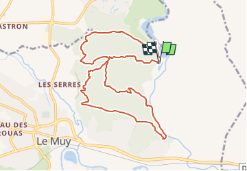


13.3 km | 18.3 km-effort


... Le plaisir d'être bien ensemble


FREE GPS app for hiking
 SityTrail
IGN / Geographical institutes
SityTrail World
The world is yours!
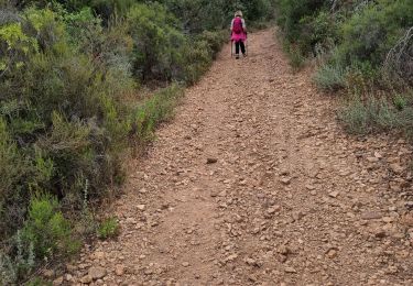
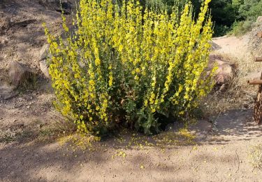
Trail Walking of 11.1 km to be discovered at Provence-Alpes-Côte d'Azur, Var, Le Muy. This trail is proposed by Rando-FCL-Puget-JOURNEE.

Walking

Walking

Mountain bike
Walking
Walking
On foot
Walking

Walking
Walking