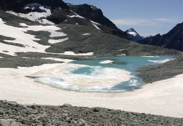
8.5 km | 12.1 km-effort
Col du Collon Refuge Parayer Tour du Cervin
edes63
User
Length
8.4 km
Max alt
3084 m
Uphill gradient
43 m
Km-Effort
12.6 km
Min alt
1991 m
Downhill gradient
1123 m
Boucle
No
Creation date :
2014-12-10 00:00:00.0
Updated on :
2014-12-10 00:00:00.0
4h03
Difficulty : Unknown
FREE GPS app for hiking
About
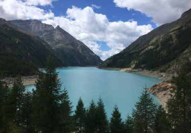
Trail Other activity of 8.4 km to be discovered at Valais/Wallis, Hérens, Evolène. This trail is proposed by edes63.
Positioning
Country:
Switzerland
Region :
Valais/Wallis
Department/Province :
Hérens
Municipality :
Evolène
Location:
Unknown
Start:(Dec)
Start:(UTM)
384856 ; 5090829 (32T) N.
Comments
Trails nearby
Itinerario 11 Diga di Bionaz Alpeggio Bella Tsa
On foot
Easy
Bionaz,
Aosta Valley,
Unknown,
Italy
2h 44min
No
Itinerario 13 Diga di Bionaz Col Livournea
On foot
Easy
Bionaz,
Aosta Valley,
Unknown,
Italy
5.8 km | 11.9 km-effort
2h 42min
No
Verbier/Zermat (Cabane Bertol-Zermatt)
Winter sports
Very easy
Evolène,
Valais/Wallis,
Hérens,
Switzerland
22 km | 42 km-effort
4h 0min
No
col du Collon Tour du Cervin
Other activity
Very easy
Evolène,
Valais/Wallis,
Hérens,
Switzerland
8.3 km | 18.1 km-effort
4h 39min
No
Accesso Bivacco Tete Des Roeses Da Alpe Bella Tsa
On foot
Easy
Bionaz,
Aosta Valley,
Unknown,
Italy
3.2 km | 6 km-effort
1h 21min
No
Vignettes Zermatt
Other activity
Very easy
Evolène,
Valais/Wallis,
Hérens,
Switzerland
25 km | 53 km-effort
1639h 7min
No
Prarayer - Rif. Aosta
Walking
Very difficult
Bionaz,
Aosta Valley,
Unknown,
Italy
6.7 km | 14.5 km-effort
3h 23min
No