


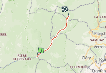

13.1 km | 24 km-effort


User


FREE GPS app for hiking
 SityTrail
IGN / Geographical institutes
SityTrail World
The world is yours!
Trail Walking of 6.2 km to be discovered at Auvergne-Rhône-Alpes, Savoy, Jarsy. This trail is proposed by Mariolebeno.
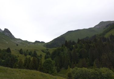
2 passages un peu délicat avec des enfants ou des personnes peu sûres pour franchir des ravines dans la traversée sous le Parc du mouton en direction du col du Drison

Walking
Walking

Walking

Walking

Horseback riding

Walking

Walking

Walking

Touring skiing