


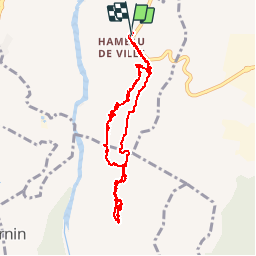

14.9 km | 18.7 km-effort

User


FREE GPS app for hiking
 SityTrail
IGN / Geographical institutes
SityTrail World
The world is yours!
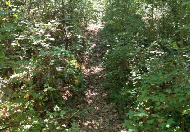
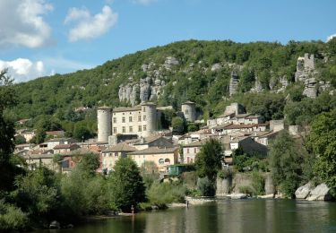
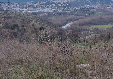
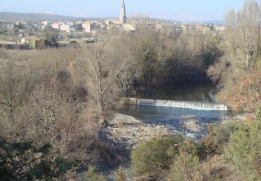
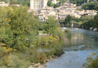
Trail Walking of 9.9 km to be discovered at Auvergne-Rhône-Alpes, Ardèche, Aubenas. This trail is proposed by pb07.
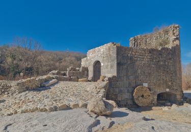
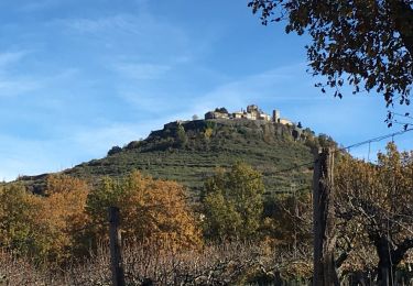
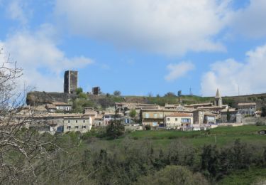
Visite des dolmens du Serre Bastel. Retour par la tour de Ville.


Walking
Walking
Walking
Walking


sport
Walking
Walking
Walking
Walking