


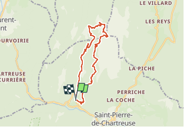


11.2 km | 25 km-effort

User


FREE GPS app for hiking
 SityTrail
IGN / Geographical institutes
SityTrail World
The world is yours!
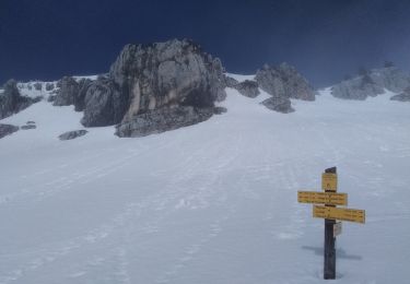
Trail Walking of 15.6 km to be discovered at Auvergne-Rhône-Alpes, Isère, Saint-Pierre-de-Chartreuse. This trail is proposed by Mich&Agnès.
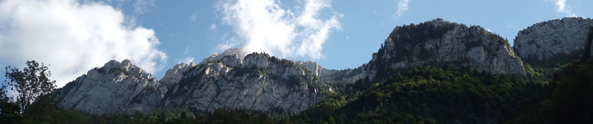
C'est une très longue balade qui peut-être raccourcie juste après la Chapelle St Bruno. La montée au Petit Som se finie par un peu "d'escalade", mais rien de fou. Le retour est relativement long, mais très confortable.


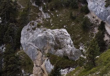
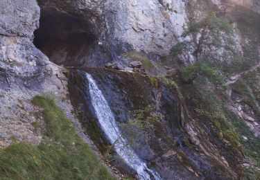
25 photos in total. Please click on a photo to see them all in the gallery.

Walking

Walking

Walking

Walking
Walking
Walking
Touring skiing

Walking
Walking