


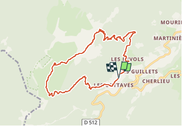

5.7 km | 14.7 km-effort

User


FREE GPS app for hiking
 SityTrail
IGN / Geographical institutes
SityTrail World
The world is yours!
Trail Walking of 10.3 km to be discovered at Auvergne-Rhône-Alpes, Isère, Saint-Pierre-de-Chartreuse. This trail is proposed by Mich&Agnès.
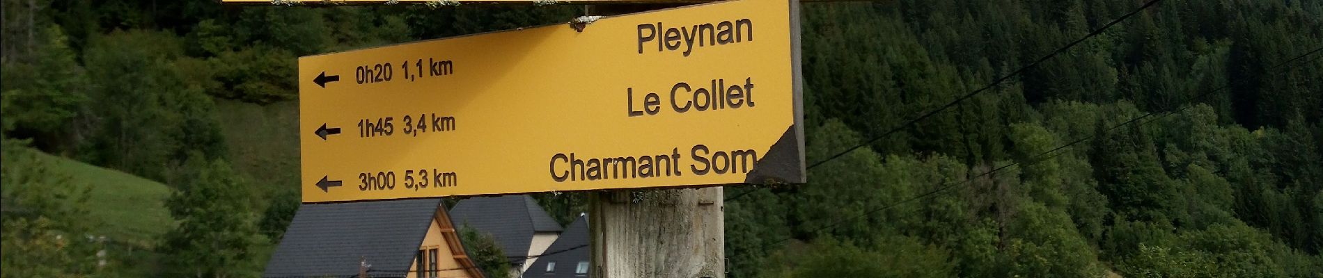
La fin de la montée se fini sur le cailloux, aussi mieux vaut éviter les jours de pluie. Idem pour la descente qui est peut usitée et donc beaucoup d'herbes folles qui vous détremperons rapidement


Walking

Walking

Walking

Walking

Walking

On foot

Touring skiing

Walking
Walking