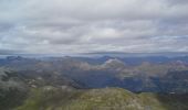
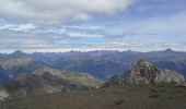
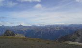
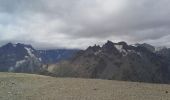
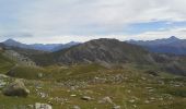
Trail Walking Puy-Saint-André - cime de la condamine - Photo
 amiral13
amiral13

User GUIDE

© OpenStreetMap contributors
Length
Length
13.7 km
Max alt
Max alt
2936 m
Uphill gradient
Uphill gradient
1074 m
Km-Effort
Km-Effort  
28 km
Min alt
Min alt
1869 m
Downhill gradient
Downhill gradient
1072 m
Boucle
Boucle
Yes
Creation date :
2014-12-10 00:00:00.0
Updated on :
2014-12-10 00:00:00.0

(0 Reviews)

Walking
Walking
5h59
Difficulty : Difficult

Scan this QR Code to open this trail in the SityTrail application

FREE GPS app for hiking

Logo SityTrail SityTrail
IGN / Geographical institutes

Download SityTrail from the App Store Download SityTrail from Google Play

Logo SityTrail SityTrail World
The world is yours!

Download SityTrail from the App Store Download SityTrail from Google Play Download SityTrail on Huawei AppGallery

About

Trail Walking of 13.7 km to be discovered at Provence-Alpes-Côte d'Azur, Hautes-Alpes, Puy-Saint-André. This trail is proposed by amiral13.

Description

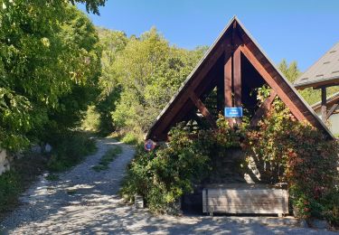
un départ en sous-bois presque jusqu'au col de la trancoulette. Ensuite le sentier traverse des alpages jusqu'au peyré du fey.
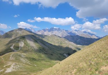
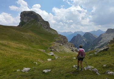
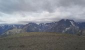
le parcours devient ensuite un peu plus montagne avec 3 passages, très courts, qui nécessitent l'emploi des mains pour atteindre enfin le sommet par une large arrête.
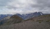
pour la descente,par la crête de coste groselière, le chemin bien visible au début (s'il n'y a pas de neige), se perd un peu et la recherche des cairns devient nécessaire à partir de la côte 2657m. A priori ne pas chercher à gravir le petit sommet (2690)qui surplombe le col de la pisse.
la fin de la descente se fait par le ravin melivrin, puis par un sentier en surplomb du lac des partias.

Elevation profile

Photos

Positioning

Country:
France
Region :
Provence-Alpes-Côte d'Azur
Department/Province :
Hautes-Alpes
Municipality :
Puy-Saint-André
Location:
Unknown
Start:(UTM)
308184 ; 4973884 (32T) N.

Trails nearby

Trail Trail Puy-Saint-André - Clos du Vas - Puy Chalvin - Photo
Trail
GUIDE
toutankhcarton

Trail

Medium
Puy-Saint-André, Provence-Alpes-Côte d'Azur, Hautes-Alpes, France
7.4 km | 13.4 km-effort
1h 30min
Yes
Trail Running Puy-Saint-André - Clos du Vas - St Blaise - Briançon - Villar St Pancrace (Hautes-Alpes) - Photo
Running
GUIDE
toutankhcarton

Running

Medium
Puy-Saint-André, Provence-Alpes-Côte d'Azur, Hautes-Alpes, France
8 km | 10 km-effort
1h 7min
Yes
Trail Walking Saint-Chaffrey - le Prorel au départ de la Serre Chevalier - Photo
Walking
GUIDE
amiral13

Walking

Easy
Saint-Chaffrey, Provence-Alpes-Côte d'Azur, Hautes-Alpes, France
7.9 km | 13.8 km-effort
3h 41min
Yes
Trail Walking Saint-Chaffrey - Chantemerle-la Salle les Aples 13-08-2018 - Photo
Walking
GUIDE
fredetpascale

Walking

Easy
(1)
Saint-Chaffrey, Provence-Alpes-Côte d'Azur, Hautes-Alpes, France
9.7 km | 15.9 km-effort
2h 56min
No
Trail Walking Briançon - Briancon: Le tour du Fort des 3 Têtes   - Photo
Walking
GUIDE
lhomme.ph

Walking

Medium
(1)
Briançon, Provence-Alpes-Côte d'Azur, Hautes-Alpes, France
7.7 km | 12.7 km-effort
1h 50min
Yes
Trail Walking Puy-Saint-André - Cime de la Condamine en boucle  - Photo
Walking
GUIDE
orsel

Walking

Very difficult
Puy-Saint-André, Provence-Alpes-Côte d'Azur, Hautes-Alpes, France
13.3 km | 28 km-effort
6h 1min
Yes
Trail Mountain bike Briançon - Montgenevre par route militaire - Photo
Mountain bike
Fred Aguesse

Mountain bike

Difficult
(1)
Briançon, Provence-Alpes-Côte d'Azur, Hautes-Alpes, France
36 km | 53 km-effort
3h 41min
No
Trail Touring skiing Villar-Saint-Pancrace - ravin des barres - Photo
Touring skiing
tchoua

Touring skiing

Difficult
Villar-Saint-Pancrace, Provence-Alpes-Côte d'Azur, Hautes-Alpes, France
17.2 km | 33 km-effort
3h 53min
Yes
Trail Touring skiing Puy-Saint-André - rocher bouchard pente nord est  de crête de bressiere - Photo
Touring skiing
tchoua

Touring skiing

Difficult
Puy-Saint-André, Provence-Alpes-Côte d'Azur, Hautes-Alpes, France
14.5 km | 27 km-effort
2h 58min
No


Close
My subscriptions